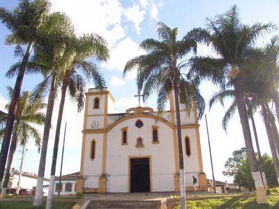
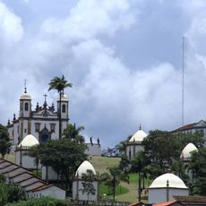
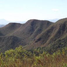
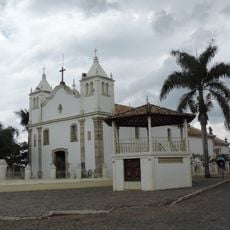
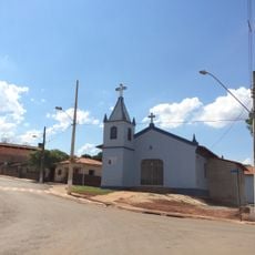
Belo Vale, Municipality in Minas Gerais, Brazil.
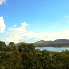
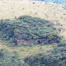
Belo Vale is a municipality in Minas Gerais located in the Brazilian savanna region south of Belo Horizonte. The area spreads across rolling hills and farmland with grassland and scattered trees typical of the region.
The municipality was officially established in 1938, marking the start of structured local government in this part of Minas Gerais. Since then, it has developed into an agricultural center focused on regional production.
Local farmers organize regular markets where you can see regional crops and livestock being traded, creating gathering places for the community to connect and do business together.
The best time to visit is during harvest season when local markets are most active and you can see agricultural work in progress. Expect rural roads and infrastructure typical of smaller Brazilian towns when planning your visit.
The municipality contains the small settlement of Noiva do Cordeiro, which attracts attention due to its distinctive demographic structure. Visitors interested in alternative community living arrangements can find an interesting example of how this plays out in practice.
Location: Minas Gerais
Elevation above the sea: 797 m
Shares border with: Congonhas, Moeda, Ouro Preto, Bonfim, Brumadinho, Jeceaba,
Website: http://belovale.mg.gov.br
GPS coordinates: -20.40778,-44.02389
Latest update: December 7, 2025 20:24
Inhotim
37.6 km
Sanctuary of Bom Jesus de Matosinhos
20.3 km
Serra do Rola-Moça State Park
40.8 km
Piemonte Tower
47.6 km
Lagoa dos Ingleses
27.4 km
Parish Church of Saint Antony
36.8 km
Dom Bosco School
38.4 km
Museu do Escravo
127 m
Pico do Itabirito
24.8 km
Casa de Pedra do Gambá
22.7 km
Fortim dos Bandeirantes
22.7 km
Igreja Matriz de São Bartolomeu
47.6 km
Igreja Matriz de Santo Antônio de Itatiaia
45.1 km
Invenção da cor, Penetrável Magic square n.5, De luxe
37.6 km
Concordia Corporate Tower
47.9 km
Parish Church of Our Lady of Nazareth (Cachoeira do Campo)
37.6 km
Igreja Matriz de Nossa Senhora da Boa Viagem
28.5 km
Museu de Congonhas
20.2 km
Our Lord of the Good End Sanctuary
24.2 km
Topo do Mundo
24.1 km
Parish Church of Saint Antony (Glaura)
41.5 km
Parish Church of Our Lady of the Conception
20.1 km
Skeleton's Bridge
47.1 km
Cine Ritz Lafaiete
37.4 km
Museu da Imagem e Memória
20.3 km
Our Lady Aparecida Chapel
45 km
Brumadinho Fortress
32.4 km
Mirante Três Pedras
40.8 kmVisited this place? Tap the stars to rate it and share your experience / photos with the community! Try now! You can cancel it anytime.
Discover hidden gems everywhere you go!
From secret cafés to breathtaking viewpoints, skip the crowded tourist spots and find places that match your style. Our app makes it easy with voice search, smart filtering, route optimization, and insider tips from travelers worldwide. Download now for the complete mobile experience.
A unique approach to discovering new places❞
— Le Figaro
All the places worth exploring❞
— France Info
A tailor-made excursion in just a few clicks❞
— 20 Minutes