Chest opened
+${chestReward.xp} XP
Explorer
NOUVEAU ×${chestReward.collectible.quantity}
tapez pour fermer
Chest locked

Open chests in the app

Around Us is built for your phone — chests unlock when you walk, explore and capture nearby places.

Enable Location

We need your location to show you interesting places around you

Discover nearby places

Find interesting locations and hidden gems around you

Precise directions

Get accurate directions and distances to places

Your location is never shared with other users. It's only used when you tap the location button.

Log in to your account

Start exploring — it's free

Trusted by 72,878 travelers worldwide

Continue with Google
Continue with Apple
or

We will send you a code to connect

By continuing, you accept our Terms and Conditions and our Privacy Policy

Check your inbox

We've sent a pincode in your inbox. Please enter the code below.

Discussion Reviews Photo
17k Popularity

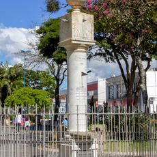
Serra do Salitre, Agricultural municipality in northwestern Minas Gerais, Brazil.

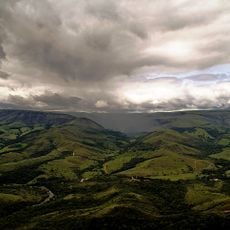
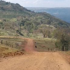
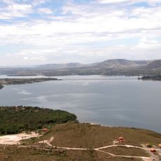
Serra do Salitre is an agricultural town in the Triangulo Mineiro region, located at about 1200 meters elevation in northwestern Minas Gerais. The municipal area spans roughly 1300 square kilometers with fields, plantations, and scattered settlements.

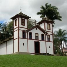
The town started in the 17th century when an explorer discovered mineral springs in the area in 1675 and founded an initial settlement. These early origins still shape the community today.

The town is deeply rooted in farming, especially coffee cultivation, which has shaped life here for generations. Walking through the region, you notice coffee plantations everywhere, defining the landscape and supporting many families.

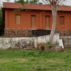
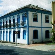
This is a typical rural municipality with schools, medical facilities, and basic infrastructure to serve residents and visitors. The best time to visit is during the dry season when roads are easier to navigate.

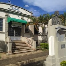
The municipality launched a transparency program for public administration that significantly improved how government operations work. This commitment to better governance sets it apart from many other rural communities.

The community of curious travelers

AroundUs brings together thousands of curated places, local tips, and hidden gems, enriched daily by 60,000 contributors worldwide.

Start exploring
Location
Elevation above the sea
1,209 m
Shares border with
Patos de Minas, Perdizes, Ibiá, Patrocínio, Carmo do Paranaíba, Cruzeiro da Fortaleza, Rio Paranaíba
GPS coordinates
-19.11083,-46.69000
Latest update
December 7, 2025 19:25
Reviews
Share your experience

No review yet

Discussions
Start a discussion...

No discussion yet

« Serra do Salitre - Agricultural municipality in northwestern Minas Gerais, Brazil » is provided by Around Us (aroundus.com). Images and texts are derived from Wikimedia project under a Creative Commons license. You are allowed to copy, distribute, and modify copies of this page, under the conditions set by the license, as long as this note is clearly visible.

Discover hidden gems everywhere you go!

From secret cafés to breathtaking viewpoints, skip the crowded tourist spots and find places that match your style. Our app makes it easy with voice search, smart filtering, route optimization, and insider tips from travelers worldwide. Download now for the complete mobile experience.

Around Us App Screenshot

A unique approach to discovering new places

Le Figaro

All the places worth exploring

France Info

A tailor-made excursion in just a few clicks

20 Minutes

Around Us
Travel Guide & Maps
Download

Send to your phone

QR Code
1

Open the camera app on your mobile.

2

Point at the QR code with your camera. A notification will appear.

3

Tap the notification to open the link.