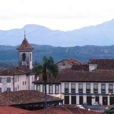
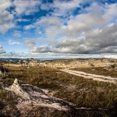
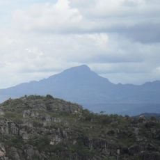
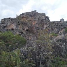
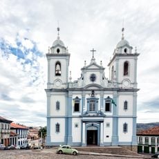
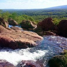
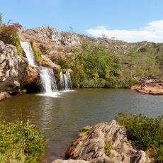
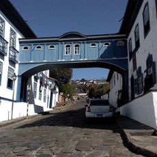
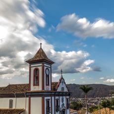
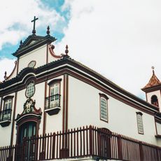
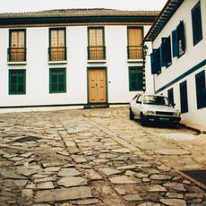
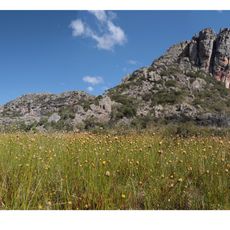
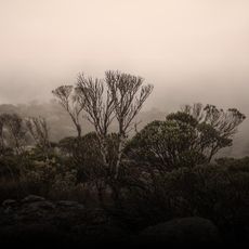
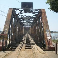
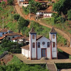
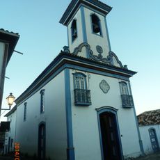
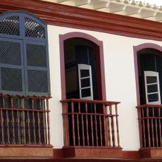
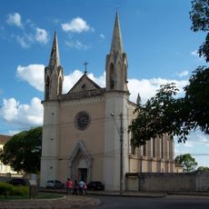
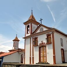
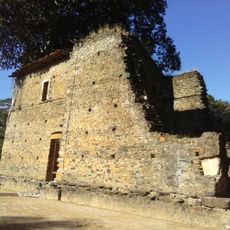
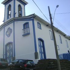
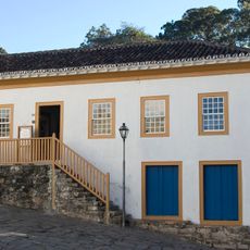
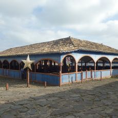
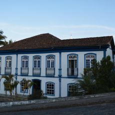
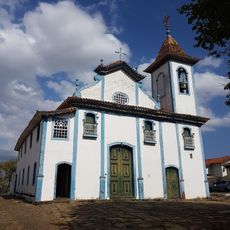
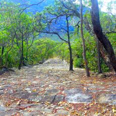
Joaquim Felício, human settlement in Brazil
Location: Minas Gerais
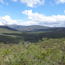
Elevation above the sea: 684 m
Website: http://www.joaquimfelicio.mg.gov.br
Shares border with: Bocaiúva, Buenópolis, Engenheiro Navarro, Francisco Dumont, Lassance
Website: http://joaquimfelicio.mg.gov.br
GPS coordinates: -17.75778,-44.17194
Latest update: April 18, 2025 16:03
Historic Centre of the Town of Diamantina
80.4 km
Sempre Vivas National Park
44.2 km
Pico do Itambé
112.6 km
Serra do Cabral
12.3 km
St. Anthony Cathedral, Diamantina
81.5 km
Serra do Cabral State Park
12.5 km
Biribiri State Park
72.7 km
Casa da Glória
80.9 km
Church of Saint Francis of Assisi
81.3 km
Church of Our Lady of Mount Carmel
81.7 km
House of Chica da Silva
81.7 km
Rio Preto State Park
99.4 km
Espinhaço Mosaic
100 km
Pico do Itambé State Park
112.6 km
Marshal Hermes da Fonseca Bridge
93.9 km
Church of Bom Jesus de Matosinhos
125.9 km
Church of Our Lady of Protection
81.5 km
Casa Muxarabi
81.6 km
Basílica do Sagrado Coração de Jesus
81.4 km
Igreja do Senhor do Bonfim
81.6 km
Igreja de Bom Jesus de Matozinhos
92.4 km
Church of Our Lady of Mercy
81.5 km
Museu do Diamante
81.4 km
Mercado Municipal de Diamantina
81.5 km
Casa à Praça Juscelino Kubitschek
81.3 km
Cinemais Montes Claros
117.4 km
Church of Our Lady of the Rosary
81.8 km
Road of the Slaves
79.3 kmReviews
Visited this place? Tap the stars to rate it and share your experience / photos with the community! Try now! You can cancel it anytime.
Discover hidden gems everywhere you go!
From secret cafés to breathtaking viewpoints, skip the crowded tourist spots and find places that match your style. Our app makes it easy with voice search, smart filtering, route optimization, and insider tips from travelers worldwide. Download now for the complete mobile experience.
A unique approach to discovering new places❞
— Le Figaro
All the places worth exploring❞
— France Info
A tailor-made excursion in just a few clicks❞
— 20 Minutes