
Seringueiras, municipality of Brazil
Location: Rondônia
Elevation above the sea: 175 m
Shares border with: São Miguel do Guaporé
GPS coordinates: -11.79806,-63.03111
Latest update: March 15, 2025 23:42
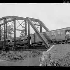
Madeira-Mamoré Railroad
350.7 km
Fort Prince of Beira
166.9 km
Noel Kempff Mercado National Park
359.8 km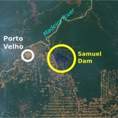
Samuel Hydroelectric Dam
342.3 km
Pacaás Novos National Park
83.3 km
Catarata Arco Iris
316.1 km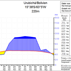
Urubichá
356.5 km
Campos Amazônicos National Park
400.1 km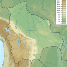
Ríos Blanco y Negro Wildlife Reserve
333.6 km
Mapinguari National Park
396.1 km
Casarabe culture
376.3 km
Bajo Paraguá Municipal Protected Area
334.6 km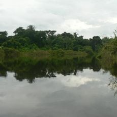
Ibare-Mamoré
405.2 km
Rio Cautário Federal Extractive Reserve
128 km
Aquariquara Extractive Reserve
250.6 km
Association of Machadinho Rubber Tappers
287.3 km
Lago do Cuniã Extractive Reserve
392 km
Federico Ahlfeld Falls
311.8 km
Rio Cautário State Extractive Reserve
140.1 km
Rio Ouro Preto Extractive Reserve
215.6 km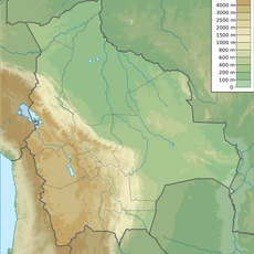
Isla Cumprida
165 km
Madeira-Mamoré Railroad, rail yard
350.9 km
Castanheira do Estádio Aluízio Pinheiro Ferreira
351.9 km
Capela de Santo Antônio de Pádua
347.5 km
Três Caixas d'Água
351.3 km
José Ballivián
394.3 km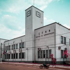
Prédio da Administração Central da EFMM
351 km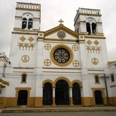
Cathedral of the Holy Trinity
394.3 kmReviews
Visited this place? Tap the stars to rate it and share your experience / photos with the community! Try now! You can cancel it anytime.
Discover hidden gems everywhere you go!
From secret cafés to breathtaking viewpoints, skip the crowded tourist spots and find places that match your style. Our app makes it easy with voice search, smart filtering, route optimization, and insider tips from travelers worldwide. Download now for the complete mobile experience.

A unique approach to discovering new places❞
— Le Figaro
All the places worth exploring❞
— France Info
A tailor-made excursion in just a few clicks❞
— 20 Minutes