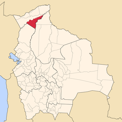
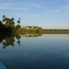
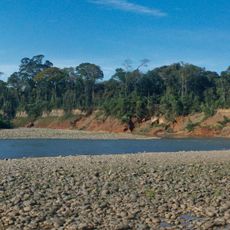
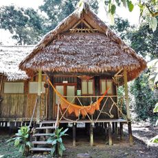
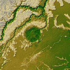
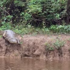
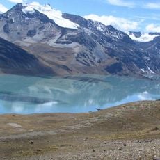
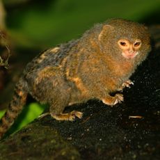
Madre de Dios Province, province of Bolivia
Location: Pando Department
Elevation above the sea: 181 m
GPS coordinates: -11.83333,-67.16667
Latest update: April 28, 2025 12:20
Tambopata National Reserve
259.9 km
Madidi National Park and Integrated Management Natural Area
305.7 km
Fort Prince of Beira
305.8 km
Chalalan
298.8 km
Palácio Rio Branco
218.5 km
Beni Biological Station Biosphere Reserve
509 km
Pilón Lajas Biosphere Reserve and Communal Lands
352.5 km
President Guillermo Billinghurst Bridge
234 km
Manuripi-Heath Amazonian Wildlife National Reserve
100.3 km
Wilson Pinheiro Binational Bridge
195.4 km
Iturralde Crater
100.5 km
Museu da Borracha Governador Geraldo Mesquita
218.9 km
Qulu Qulu
386.9 km
Chico Mendes' house
222.1 km
Chaupi Orco
383.5 km
Estádio José de Melo
218.9 km
Brazil-Peru Integration Bridge
281.2 km
Municipal Protected Area Pampas of the Yacuma River
241 km
Estádio Antônio Aquino Lopes
217.3 km
Machu Such'i Qhuchi
392.3 km
Rio Cautário Federal Extractive Reserve
322.6 km
Rio Acre Ecological Station
349.4 km
Palomani
391.9 km
Rio Cautário State Extractive Reserve
314 km
Rio Ouro Preto Extractive Reserve
295 km
Estádio Álvaro Felício Abrahão
196.5 km
Seringal Bom Destino
241.3 km
Cine Teatro Recreio
217.9 kmReviews
Visited this place? Tap the stars to rate it and share your experience / photos with the community! Try now! You can cancel it anytime.
Discover hidden gems everywhere you go!
From secret cafés to breathtaking viewpoints, skip the crowded tourist spots and find places that match your style. Our app makes it easy with voice search, smart filtering, route optimization, and insider tips from travelers worldwide. Download now for the complete mobile experience.
A unique approach to discovering new places❞
— Le Figaro
All the places worth exploring❞
— France Info
A tailor-made excursion in just a few clicks❞
— 20 Minutes