Monte Alegre, Municipality in Pará, Brazil.
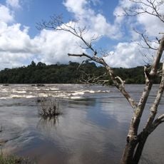
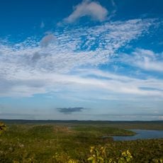
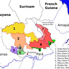
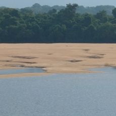
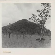
Monte Alegre is a municipality in the state of Pará that stretches along the Amazon River, combining tropical forests, savannas, and protected ecological reserves across its territory. The area blends sparsely populated forest regions with an urban center where most residents live.
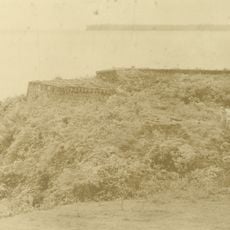
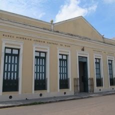
The area was inhabited in prehistoric times, as shown by rock paintings and artifacts discovered in Caverna da Pedra Pintada. These early traces reveal the long human history of the Amazon region.
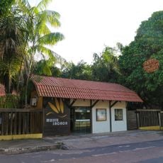
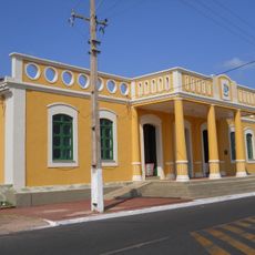
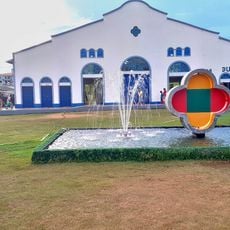
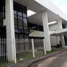
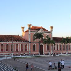
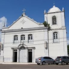
The municipality maintains traditional Amazonian customs through local crafts, music, and celebrations that shape daily life. These cultural practices coexist naturally with modern lifestyles in the central neighborhoods.
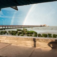
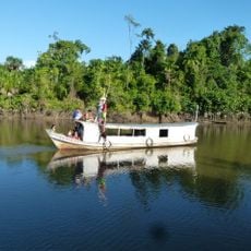
Monte Alegre Airport connects the city regularly to major Brazilian cities and serves as the main arrival route for visitors. River transportation remains essential since it links local communities and is the natural way to traverse the region.
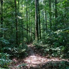
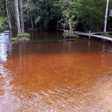
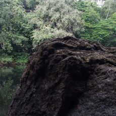
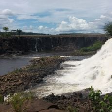
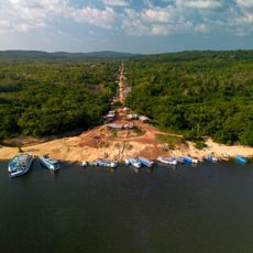
The Grão-Pará Ecological Station, which extends partly into the municipality, is one of the largest tropical forest conservation areas in the world. This reserve offers researchers and visitors a chance to experience the Amazon rainforest biodiversity up close.
Location: Pará
Elevation above the sea: 277 m
Shares border with: Alenquer, Almeirim, Prainha, Santarém
Website: http://prefeiturademontealegre.pa.gov.br
GPS coordinates: -2.00778,-54.06889
Latest update: December 7, 2025 19:26
Milton de Souza Corrêa Stadium
400.7 km
Fortaleza de São José de Macapá
405.5 km
Marco Zero
401 km
Tumucumaque National Park
469.2 km
Museu Sacaca
403.7 km
João Fona cultural centre
84.6 km
Pau do Presidente
248.9 km
Macapá Central Market
405.3 km
Caxiuanã National Forest
294.1 km
Government of Amapá
405.5 km
National Forest Tapajós
201.7 km
Trapiche Eliezer Levy
405.7 km
Fort of Saint Antony of Gurupá
278.2 km
Terra do Meio Ecological Station
223 km
Grão-Pará Ecological Station
495.8 km
Rio Cajari Extractive Reserve
274.9 km
Maicuru Biological Reserve
365.8 km
Rio Trombetas Biological Reserve
303.3 km
Jari Ecological Station
226.2 km
Tapajós-Arapiuns Extractive Reserve
209.5 km
Forte Gurjão
162.6 km
Rio Xingu Extractive Reserve
301.8 km
Reserva de Desenvolvimento Sustentável Itatupã-Baquiá
340.8 km
Parish Church of Saint Joseph of Macapá
405.6 km
Museu Histórico Joaquim Caetano da Silva
405.6 km
Quilombo Cachoeira Porteira
200.4 km
Kantani
522.7 km
Awaladi
538.9 kmVisited this place? Tap the stars to rate it and share your experience / photos with the community! Try now! You can cancel it anytime.
Discover hidden gems everywhere you go!
From secret cafés to breathtaking viewpoints, skip the crowded tourist spots and find places that match your style. Our app makes it easy with voice search, smart filtering, route optimization, and insider tips from travelers worldwide. Download now for the complete mobile experience.
A unique approach to discovering new places❞
— Le Figaro
All the places worth exploring❞
— France Info
A tailor-made excursion in just a few clicks❞
— 20 Minutes