
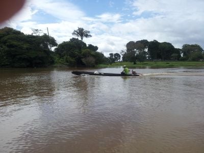
Barreirinha, municipality of Amazonas, Brazil
Location: Amazonas
Inception: June 9, 1881
Elevation above the sea: 5 m
Shares border with: Aveiro, Boa Vista do Ramos, Maués, Parintins, Urucurituba
GPS coordinates: -2.80250,-57.06861
Latest update: March 7, 2025 01:09
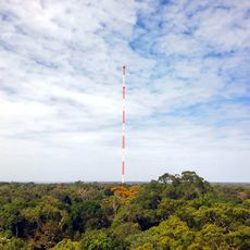
Amazon Tall Tower Observatory
227.5 km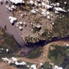
Forte de São José da Barra do Rio Negro
323.1 km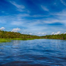
Amazônia National Park
184 km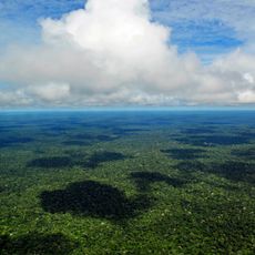
Adolfo Ducke Forest Reserve
318.8 km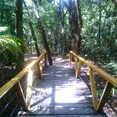
Parque Municipal do Mindu
328.5 km
Benjamin Constant suspended bridge
329.1 km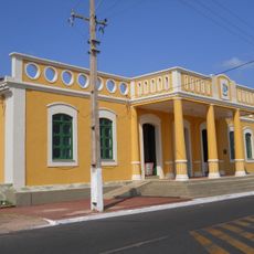
João Fona cultural centre
265.9 km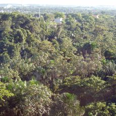
Sumaúma State Park
324.8 km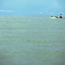
Tapajós hydroelectric complex
218.6 km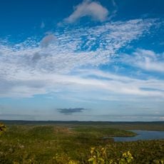
National Forest Tapajós
235.6 km
Museu do Índio de Manaus
329.3 km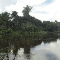
Jamanxim National Park
353.2 km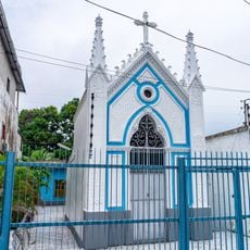
Capela de Santo Antônio do Pobre Diabo
328.5 km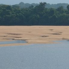
Rio Trombetas Biological Reserve
197.3 km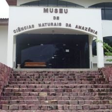
Natural Science Museum of the Amazon
325.6 km
Uatumã Sustainable Development Reserve
184.3 km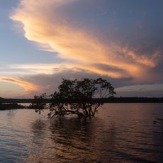
Tapajós-Arapiuns Extractive Reserve
202.5 km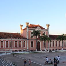
Forte Gurjão
197.8 km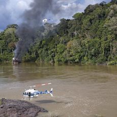
Itaituba II National Forest
284.4 km
Museum of the Amazon (MUSA)
319 km
Trairão National Forest
289 km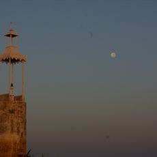
Moronas Lighthouse
301.9 km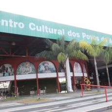
Centro Cultural dos Povos da Amazônia
326.8 km
UCI Sumaúma Park Shopping
324.7 km
Centerplex Grande Circular
322 km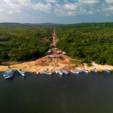
Quilombo Cachoeira Porteira
175.7 km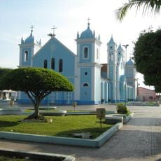
Borba Cathedral
331.3 km
Multiplex Via Norte
327.1 kmReviews
Visited this place? Tap the stars to rate it and share your experience / photos with the community! Try now! You can cancel it anytime.
Discover hidden gems everywhere you go!
From secret cafés to breathtaking viewpoints, skip the crowded tourist spots and find places that match your style. Our app makes it easy with voice search, smart filtering, route optimization, and insider tips from travelers worldwide. Download now for the complete mobile experience.

A unique approach to discovering new places❞
— Le Figaro
All the places worth exploring❞
— France Info
A tailor-made excursion in just a few clicks❞
— 20 Minutes