Enable Location

We need your location to show you interesting places around you

Discover nearby places

Find interesting locations and hidden gems around you

Precise directions

Get accurate directions and distances to places

Your location is never shared with other users. It's only used when you tap the location button.

Serra dos Pireneus

Log in to your account

Start exploring — it's free

Trusted by 61,994 travelers worldwide

Continue with Google
Continue with Apple
or

We will send you a code to connect

By continuing, you accept our Terms and Conditions and our Privacy Policy

Check your inbox

We've sent a pincode in your inbox. Please enter the code below.

Serra dos Pireneus

Serra dos Pireneus, Mountain range near Pirenópolis, Brazil

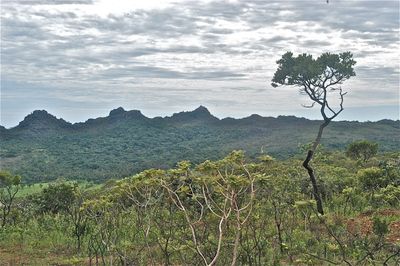
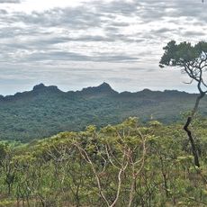
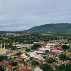
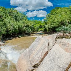
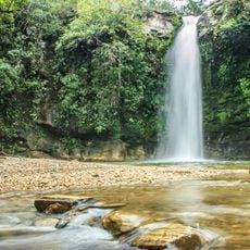
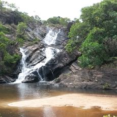
Serra dos Pireneus is a mountain range in Goiás state extending across three municipalities with its highest peak reaching 1,385 meters (4,544 feet). The range contains 26 waterfalls and numerous hiking trails that pass through different ecosystems.

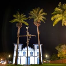
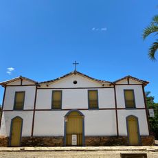
The mountain range became a strategic point for gold mining routes in 1730, leading to the establishment of settlements including present-day Pirenópolis. This early development shaped the region and made it an important mining hub in Goiás.

The Festa do Morro takes place during the first full moon of July, drawing people to the mountain peak for religious ceremonies. This celebration reflects spiritual practices that have deep roots in the local community and shape how residents connect with the landscape.

Visitors need an authorized guide to explore the mountain range and safely navigate the different trails. It helps to bring weather-appropriate gear and plan visits according to local conditions.

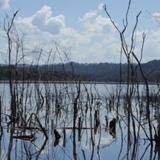
The range functions as a continental divide between the Tocantins and Paraná river basins. Its distinctive quartzite rock formations create the geological character visible throughout the landscape.

The community of curious travelers

AroundUs brings together thousands of curated places, local tips, and hidden gems, enriched daily by 60,000 contributors worldwide.

Start exploring
Location
GPS coordinates
-16.00000,-49.00000
Latest update
December 6, 2025 17:43
Natural areas of central west Brazil: waterfalls, caves, national parks

The central west region of Brazil encompasses states including Goiás, Mato Grosso and Mato Grosso do Sul. These areas contain national parks with hiking trails, waterfalls and cave systems. Chapada dos Veadeiros National Park near Alto Paraíso de Goiás displays cerrado vegetation and rock...

« Serra dos Pireneus - Mountain range near Pirenópolis, Brazil » is provided by Around Us (aroundus.com). Images and texts are derived from Wikimedia project under a Creative Commons license. You are allowed to copy, distribute, and modify copies of this page, under the conditions set by the license, as long as this note is clearly visible.

Discover hidden gems everywhere you go!

From secret cafés to breathtaking viewpoints, skip the crowded tourist spots and find places that match your style. Our app makes it easy with voice search, smart filtering, route optimization, and insider tips from travelers worldwide. Download now for the complete mobile experience.

Around Us App Screenshot

A unique approach to discovering new places

Le Figaro

All the places worth exploring

France Info

A tailor-made excursion in just a few clicks

20 Minutes

Around Us
Travel Guide & Maps
Download

Send to your phone

QR Code
1

Open the camera app on your mobile.

2

Point at the QR code with your camera. A notification will appear.

3

Tap the notification to open the link.