Enable Location

We need your location to show you interesting places around you

Discover nearby places

Find interesting locations and hidden gems around you

Precise directions

Get accurate directions and distances to places

Your location is never shared with other users. It's only used when you tap the location button.

Itaberaí

Log in to your account

Start exploring — it's free

Trusted by 61,995 travelers worldwide

Continue with Google
Continue with Apple
or

We will send you a code to connect

By continuing, you accept our Terms and Conditions and our Privacy Policy

Check your inbox

We've sent a pincode in your inbox. Please enter the code below.

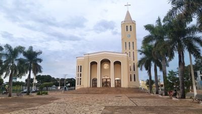
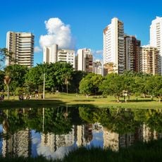
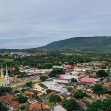
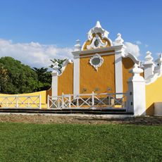
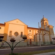
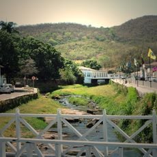
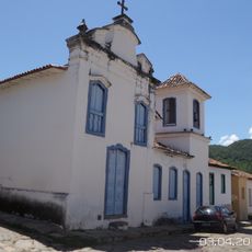
Itaberaí, Municipal center in Goiás, Brazil.

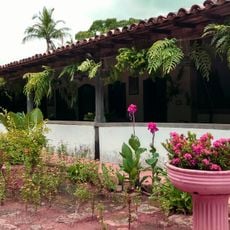
Itaberaí is a municipality in central Goiás, Brazil, situated at an elevation of about 765 meters and spanning a sizable area in the state's interior. The town center serves the surrounding communities through schools, hospitals, clinics, and various local services.

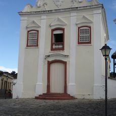
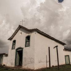
The settlement began in the 1600s when gold prospectors arrived and established a community they first called Curralinho. It gained official municipal status in 1924 and has grown since then.

The name Itaberaí comes from the Tupi-Guarani language and means River of Bright Rocks, reflecting the indigenous roots of the region. This heritage remains part of how locals understand their place in central Goiás.

The town has schools and medical facilities spread throughout the area to serve residents. When visiting, it helps to know that services are distributed across the municipality rather than concentrated in one spot.

Super Frango, a major chicken processing facility, operates within the municipality and shapes the local economy. The operation creates jobs and is deeply connected to the region's farming activity.

The community of curious travelers

AroundUs brings together thousands of curated places, local tips, and hidden gems, enriched daily by 60,000 contributors worldwide.

Start exploring
Location
Elevation above the sea
765 m
Shares border with
Itauçu, Heitoraí, Americano do Brasil, Anicuns, Araçu, Avelinópolis, Goiás, Itaguari, Itaguaru, Mossâmedes, Taquaral de Goiás, Uruana
GPS coordinates
-16.02000,-49.81000
Latest update
December 7, 2025 10:07
« Itaberaí - Municipal center in Goiás, Brazil » is provided by Around Us (aroundus.com). Images and texts are derived from Wikimedia project under a Creative Commons license. You are allowed to copy, distribute, and modify copies of this page, under the conditions set by the license, as long as this note is clearly visible.

Discover hidden gems everywhere you go!

From secret cafés to breathtaking viewpoints, skip the crowded tourist spots and find places that match your style. Our app makes it easy with voice search, smart filtering, route optimization, and insider tips from travelers worldwide. Download now for the complete mobile experience.

Around Us App Screenshot

A unique approach to discovering new places

Le Figaro

All the places worth exploring

France Info

A tailor-made excursion in just a few clicks

20 Minutes

Around Us
Travel Guide & Maps
Download

Send to your phone

QR Code
1

Open the camera app on your mobile.

2

Point at the QR code with your camera. A notification will appear.

3

Tap the notification to open the link.