
Itaguaru, municipality of Brazil
Location: Goiás
Elevation above the sea: 699 m
Shares border with: Itaberaí, Itaguari, Jaraguá, Uruana
GPS coordinates: -15.75778,-49.63389
Latest update: March 15, 2025 12:52

Historic Centre of the Town of Goiás
56.9 km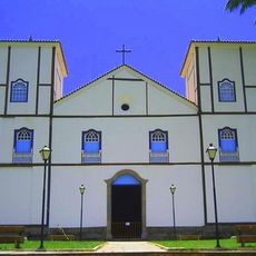
Parish Church of Our Lady of the Rosary
73.1 km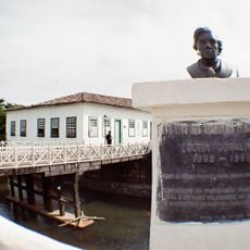
Museu Casa de Cora Coralina
57.6 km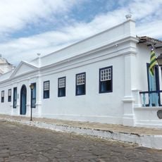
Count of Arcos Palace
57.7 km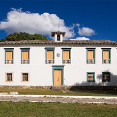
Museu das Bandeiras
57.8 km
Church of Our Lady of the Good Death
57.7 km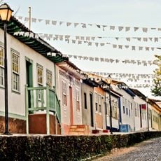
Historic center of Pirenópolis
73.1 km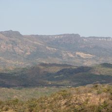
Serra Dourada State Park
78.3 km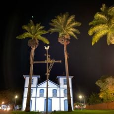
Church of Our Lord of Bonfim
73.7 km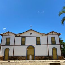
Church of Our Lady of Carmo
73 km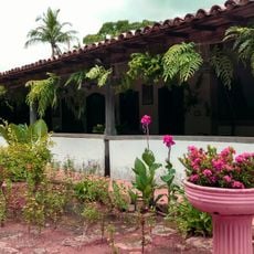
House of the Babilónia Estate
65.8 km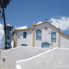
Church of Saint Francis of Paola
57.8 km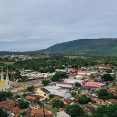
Parque Estadual da Serra de Jaraguá
32.9 km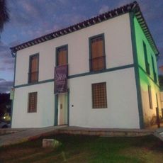
Casa de Câmara e Cadeia
73 km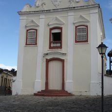
Museum of Sacred Art
57.6 km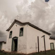
Church of Saint John the Baptist
53.1 km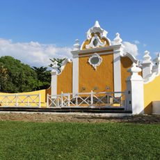
Largo do Chafariz
57.7 km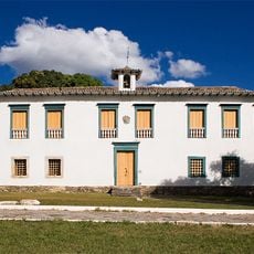
Casa de Câmara e Cadeia
57.8 km
Conjunto arquitetônico e urbanístico da Rua João Pessoa, antiga da Fundição
57.7 km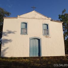
Church of Saint Barbara
58 km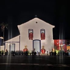
Igreja de Nossa Senhora da Conceição
32 km
Igreja de Nossa Senhora do Rosário
31.5 km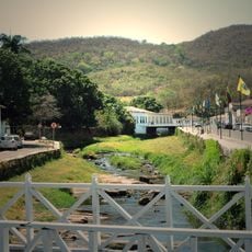
Conjunto Arquitetônico e Urbanístico da Rua Sebastião Fleury Curado
57.6 km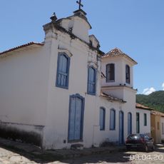
Church of Our Lady of the Abbey
57.8 km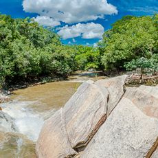
Cachoeira das Araras
64.6 km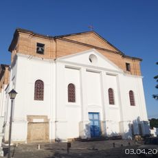
Roman Catholic Cathedral of Goiás
57.7 km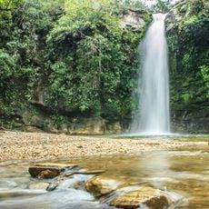
Cachoeira do Abade
80.7 km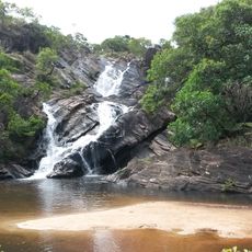
Fazenda Gleba Vargem I Private Natural Heritage Reserve
77.9 kmReviews
Visited this place? Tap the stars to rate it and share your experience / photos with the community! Try now! You can cancel it anytime.
Discover hidden gems everywhere you go!
From secret cafés to breathtaking viewpoints, skip the crowded tourist spots and find places that match your style. Our app makes it easy with voice search, smart filtering, route optimization, and insider tips from travelers worldwide. Download now for the complete mobile experience.

A unique approach to discovering new places❞
— Le Figaro
All the places worth exploring❞
— France Info
A tailor-made excursion in just a few clicks❞
— 20 Minutes