Serra do Ramalho, Municipality in Bahia, Brazil
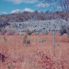
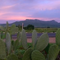
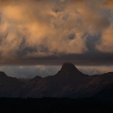
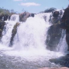
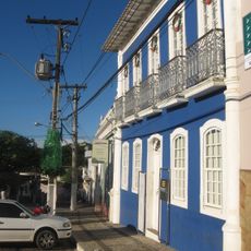
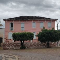
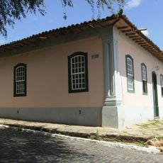
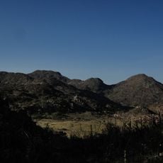
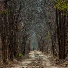
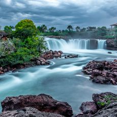
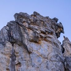
Serra do Ramalho is a municipality in western Bahia with extensive landscapes shaped by semi-arid climate and mountain terrain. It sits near the Rio São Francisco and encompasses different landscape types that characterize this region.
The area was officially recognized as an administrative unit on June 13, 1989, marking an important reorganization in western Bahia. This administrative change enabled better self-governance for local communities in this remote region.
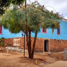
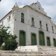
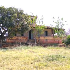
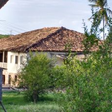
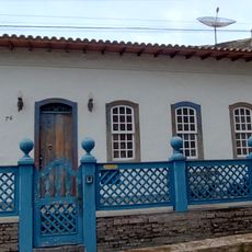
The region maintains strong connections to northeastern Brazilian traditions that have adapted to the harsh semi-arid environment. Visitors can observe how daily life reflects the relationship between people and the demanding landscape.
The location is far from major urban centers and is primarily reached through regional road networks. Visitors should expect longer travel times and be aware that infrastructure is basic, so advance planning is important.
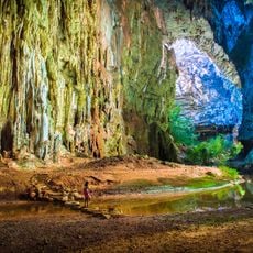
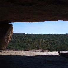
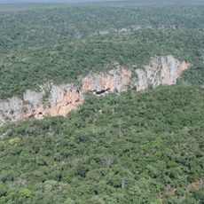
The cave systems here contain several species found nowhere else, including a whip spider species first documented in 1995. These underground habitats offer a rare glimpse into specialized ecosystems that developed in complete darkness.
GPS coordinates: -13.54424,-43.57732
Latest update: December 7, 2025 20:49
Cavernas do Peruaçu National Park
193.3 km
Church of Our Lady of Santana
190.9 km
Matriz de Nossa Senhora da Imaculada Conceição
150.6 km
Pedra da Santana
138.4 km
Casa Anísio Teixeira
131.8 km
Cachoeira Véu de Noiva
190.4 km
Pico das Almas
174.2 km
Caetité Cathedral
131.7 km
Cavernas do Peruaçu Environmental Protection Area
159.3 km
Gruta do Janelão
189.1 km
Arquivo Público Municipal de Caetité
131.9 km
Museu do Alto Sertão da Bahia
130.9 km
Caminho dos Gerais State Park
175.3 km
Área de Proteção Ambiental da Serra do Barbado
179.4 km
Cachoeira do Fraga
189.3 km
Igreja de São Benedito
131.6 km
Casa da Fazenda Santa Bárbara
138.3 km
Casa da Fazenda Brejo dos Padres (atual Fazenda Bom Jesus)
127.4 km
Hotel Caetité
131.7 km
Brito Gondim's House
132 km
Casa do Coronel Cazuzinha
131.8 km
Parque Municipal Natural da Serra das Almas
176.5 km
Lagoa do Cajueiro State Park
164 km
Casa da Praça Rodrigues Lima, nº 76
132 km
Cachoeira da Velha
189.3 km
Rio Peruaçu canyon
187.8 km
Sítio Pedra Furada
142.9 km
Casa de Câmara e Cadeia
131.9 kmVisited this place? Tap the stars to rate it and share your experience / photos with the community! Try now! You can cancel it anytime.
Discover hidden gems everywhere you go!
From secret cafés to breathtaking viewpoints, skip the crowded tourist spots and find places that match your style. Our app makes it easy with voice search, smart filtering, route optimization, and insider tips from travelers worldwide. Download now for the complete mobile experience.
A unique approach to discovering new places❞
— Le Figaro
All the places worth exploring❞
— France Info
A tailor-made excursion in just a few clicks❞
— 20 Minutes