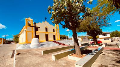
Santana, Administrative municipality in Bahia, Brazil.
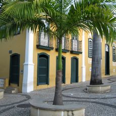
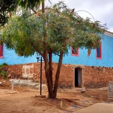
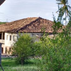
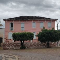
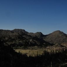
Santana is a municipality in Bahia located in northeastern Brazil. This administrative division sits in a hilly region where local communities manage municipal services and development across its territory.
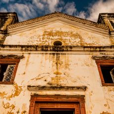
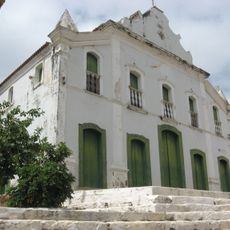
The municipality was formed during administrative reorganization of Bahia in the 1800s. This change reflected the territorial development happening across the region during that era.
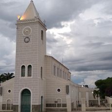
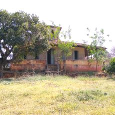
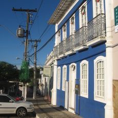
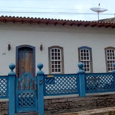
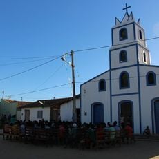
The town takes its name from Saint Anne and is shaped by local residents who celebrate regional traditions and festivals throughout the year. These customs reflect the cultural life of northeastern Brazil and form part of the daily community experience.
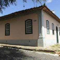
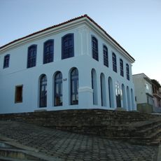
Visitors can access municipal services and public offices during weekday hours. Plan visits to administrative centers accordingly, as operating hours follow typical business schedules.
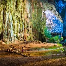
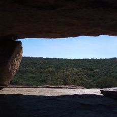
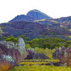
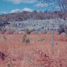
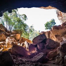
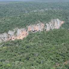
The area sits within a tropical savanna climate zone, which significantly influences local agriculture and the natural ecosystem. This geographic feature makes the region interesting for visitors who want to understand how climate shapes the way people live and work.
Location: Bahia
Elevation above the sea: 471 m
Shares border with: Serra Dourada, Baianópolis, Bom Jesus da Lapa, Canápolis, Santa Maria da Vitória, São Félix do Coribe, Serra do Ramalho, Sítio do Mato
GPS coordinates: -12.98278,-44.05083
Latest update: December 7, 2025 20:43
Manuscript 512
236 km
Cavernas do Peruaçu National Park
240 km
Matriz de Nossa Senhora da Imaculada Conceição
208.9 km
Pedra da Santana
199 km
Casa Anísio Teixeira
208.2 km
Pico das Almas
233.7 km
Caetité Cathedral
208.2 km
Cavernas do Peruaçu Environmental Protection Area
213.4 km
Gruta da Torrinha
227.7 km
Gruta do Janelão
238.4 km
Arquivo Público Municipal de Caetité
208.3 km
Museu do Alto Sertão da Bahia
207.3 km
Área de Proteção Ambiental da Serra do Barbado
228.1 km
Igreja de São Benedito
208.1 km
Casa da Fazenda Santa Bárbara
213.7 km
Casa da Fazenda Brejo dos Padres (atual Fazenda Bom Jesus)
205.7 km
Hotel Caetité
208.2 km
Brito Gondim's House
208.4 km
Casa do Coronel Cazuzinha
208.3 km
Parque Municipal Natural da Serra das Almas
236.7 km
Lagoa do Cajueiro State Park
222.2 km
Casa da Praça Rodrigues Lima, nº 76
208.4 km
Cachoeira da Velha
245.1 km
Rio Peruaçu canyon
237.2 km
Sítio Pedra Furada
139.4 km
Quilombo Igarité
229 km
Casa de Câmara e Cadeia
208.3 km
Cathedral of St John the Baptist in Barreiras
138.8 kmVisited this place? Tap the stars to rate it and share your experience / photos with the community! Try now! You can cancel it anytime.
Discover hidden gems everywhere you go!
From secret cafés to breathtaking viewpoints, skip the crowded tourist spots and find places that match your style. Our app makes it easy with voice search, smart filtering, route optimization, and insider tips from travelers worldwide. Download now for the complete mobile experience.
A unique approach to discovering new places❞
— Le Figaro
All the places worth exploring❞
— France Info
A tailor-made excursion in just a few clicks❞
— 20 Minutes