Urandi, Municipality in Bahia, Brazil.
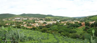
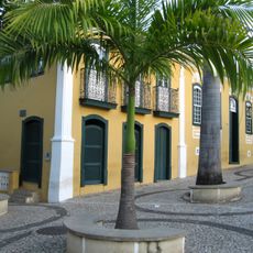
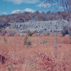
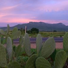
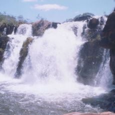
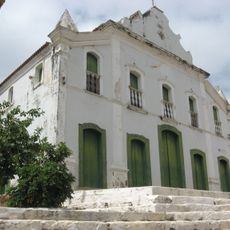
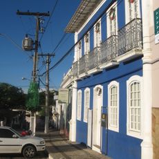
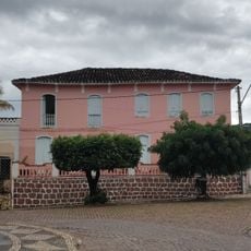
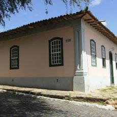
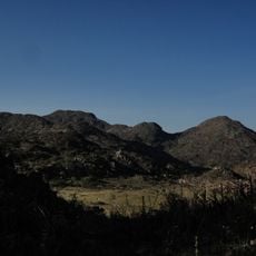
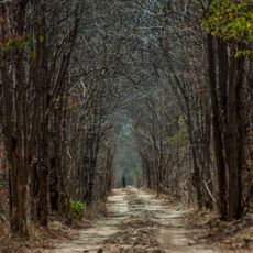
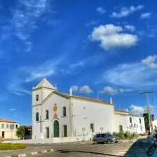
Urandi is a municipality in Bahia state in northeastern Brazil, located in a hilly region at about 637 meters elevation. The town spreads across several neighborhoods and includes both developed areas and rural zones surrounding it.
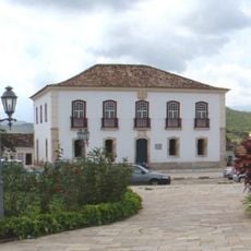
The municipality developed gradually from a small settlement into an organized administrative center over time. This growth was part of the broader settlement of inland Bahia that occurred throughout the 20th century.
The local administration of Urandi maintains strong connections with community initiatives through regular cultural events and educational programs for its residents.
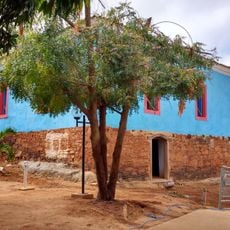
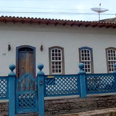
When visiting, you will find basic facilities like schools, health clinics, and shops in the central area. The best time to explore is during daytime hours when most services and businesses are open.
Urandi's geographical position at -14.770833 latitude and -42.655 longitude places it within a network of interconnected municipalities including Espinosa and Monte Azul.
Location: Bahia
Elevation above the sea: 637 m
Shares border with: Sebastião Laranjeiras, Espinosa, Jacaraci, Licínio de Almeida, Pindaí
GPS coordinates: -14.77083,-42.65500
Latest update: December 10, 2025 15:54
Church of Our Lady of Santana
160.4 km
Matriz de Nossa Senhora da Imaculada Conceição
136.7 km
Pedra da Santana
144.6 km
Casa Anísio Teixeira
80.3 km
Cachoeira Véu de Noiva
157.4 km
Pico das Almas
157.1 km
Caetité Cathedral
80.2 km
Serra Nova State Park
109.1 km
Cavernas do Peruaçu Environmental Protection Area
150.8 km
Arquivo Público Municipal de Caetité
80.3 km
Museu do Alto Sertão da Bahia
80.8 km
Gruta do Padre
96.7 km
Caminho dos Gerais State Park
51.1 km
Cachoeira do Fraga
158.1 km
Igreja de São Benedito
80.1 km
Casa da Fazenda Santa Bárbara
85.1 km
Casa da Fazenda Brejo dos Padres (atual Fazenda Bom Jesus)
69.8 km
Hotel Caetité
80.3 km
Brito Gondim's House
80.1 km
Casa do Coronel Cazuzinha
80.2 km
Parque Municipal Natural da Serra das Almas
155.4 km
Lagoa do Cajueiro State Park
139.8 km
Casa da Praça Rodrigues Lima, nº 76
80 km
Cathedral of the Sacred Heart of Jesus, Janaúba
134.3 km
Casa de Câmara e Cadeia, Rio de Contas
160.7 km
Parish Church of the Blessed Sacrament
160.7 km
Casa de Câmara e Cadeia
80.3 km
Historical Archive Municipal Memory of Brumado
123.7 kmVisited this place? Tap the stars to rate it and share your experience / photos with the community! Try now! You can cancel it anytime.
Discover hidden gems everywhere you go!
From secret cafés to breathtaking viewpoints, skip the crowded tourist spots and find places that match your style. Our app makes it easy with voice search, smart filtering, route optimization, and insider tips from travelers worldwide. Download now for the complete mobile experience.
A unique approach to discovering new places❞
— Le Figaro
All the places worth exploring❞
— France Info
A tailor-made excursion in just a few clicks❞
— 20 Minutes