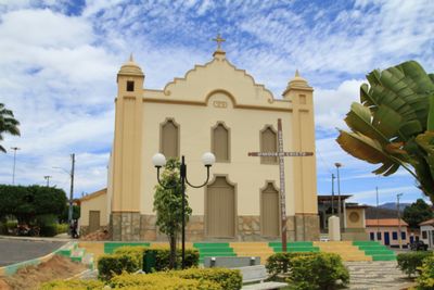
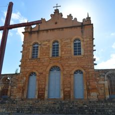
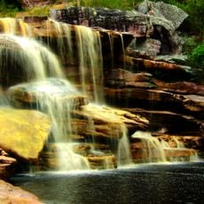
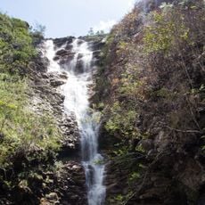
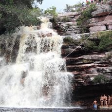
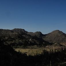
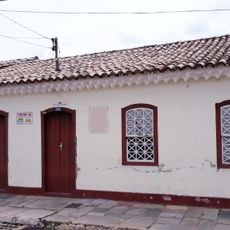
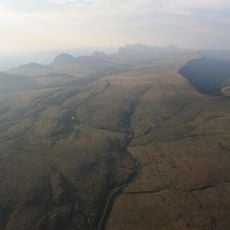
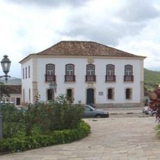
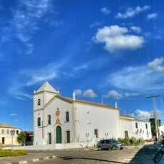
Abaíra, Mountain municipality in Chapada Diamantina, Brazil.
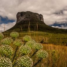
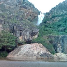
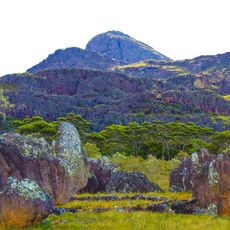
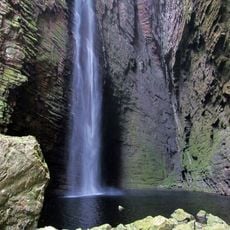
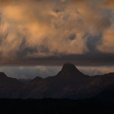
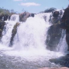
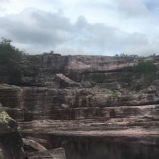
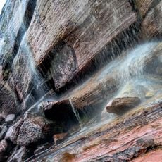
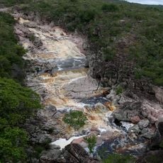
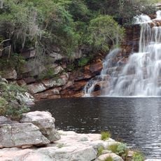
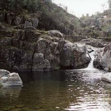
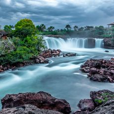
Abaíra is a municipality in the mountainous Chapada Diamantina region, situated at 802 meters elevation and stretching across central Bahia. The tropical climate with seasonal changes shapes the landscape, vegetation, and rhythm of life in this highland area.
The municipality developed during Brazil's colonial period through mining activities, especially diamond extraction in the Chapada Diamantina region. Mineral exploration drove settlement and shaped the area's early economic structure.
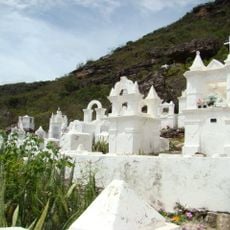
The town hosts traditional celebrations where music and dance reflect the indigenous and Afro-Brazilian roots of the region. These gatherings shape how people connect with their shared heritage and with each other throughout the year.
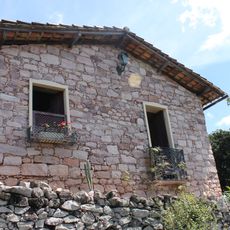
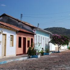
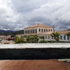
The area connects to other Bahia cities through a road network and has basic services like health clinics and schools. The highland location means roads can be winding, and travel from elsewhere takes time to plan.
Local farming takes advantage of the elevation and specific climate conditions to grow crops using methods adapted to the hilly terrain. These land-based practices have developed uniquely in response to what the mountain environment allows.
Location: Bahia
Elevation above the sea: 802 m
Shares border with: Jussiape, Rio de Contas, Érico Cardoso, Mucugê, Piatã, Rio do Pires
Website: http://abaira.ba.gov.br/#
GPS coordinates: -13.25000,-41.66389
Latest update: December 8, 2025 13:43
Chapada Diamantina National Park
51.9 km
Church of Our Lady of Santana
40.5 km
Cemitério Santa Isabel
41.2 km
Cachoeira Véu de Noiva
43.7 km
Pico das Almas
45.1 km
Cachoeira da Fumacinha
42.5 km
Área de Proteção Ambiental da Serra do Barbado
32.4 km
Cachoeira do Fraga
42.7 km
Cachoeira do Tiburtino
44.2 km
Museu Vivo do Garimpo
43.8 km
Conjunto Arquitetônico e Paisagístico da Cidade de Mucujê
41.7 km
Parque Municipal de Mucugê
44.9 km
Rio Cumbuca
44.2 km
Cachoeira das Andorinhas
43.1 km
Cachoeira do Licuri
52.4 km
Cachoeira Véu de Noiva
43.1 km
Parque Municipal Natural da Serra das Almas
45.8 km
Cachoeira da Piabinha
45.2 km
Conjunto Arquitetônico da Cidade de Rio de Contas
40.2 km
Cachoeira da Roncadeira
52.3 km
Cachoeira da Moça Loira
38.8 km
Casa Natal de Abílio César Borges, à rua Barão de Macaúbas, 19
40 km
Poço das Andorinhas
25.4 km
Cachoeira da Velha
26.1 km
Gerais do Machobongo
39.4 km
Casa de Câmara e Cadeia, Rio de Contas
40.2 km
Parish Church of the Blessed Sacrament
40.2 km
Casa à Rua Barão de Macaúbas, N° 11
40.1 kmVisited this place? Tap the stars to rate it and share your experience / photos with the community! Try now! You can cancel it anytime.
Discover hidden gems everywhere you go!
From secret cafés to breathtaking viewpoints, skip the crowded tourist spots and find places that match your style. Our app makes it easy with voice search, smart filtering, route optimization, and insider tips from travelers worldwide. Download now for the complete mobile experience.
A unique approach to discovering new places❞
— Le Figaro
All the places worth exploring❞
— France Info
A tailor-made excursion in just a few clicks❞
— 20 Minutes