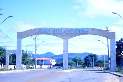
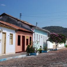
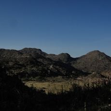
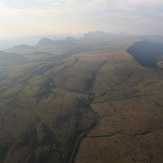
Rio de Contas, Colonial municipality in Bahia, Brazil
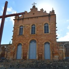
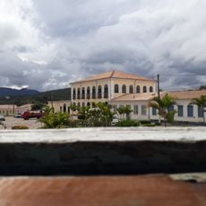
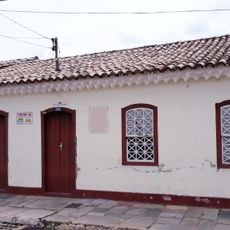
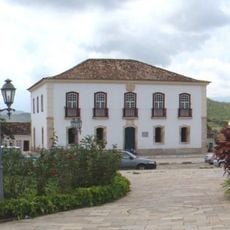
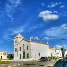
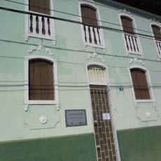
Rio de Contas is a municipality in Bahia nestled in the mountains, featuring colonial-era buildings with original street patterns and stone structures. Narrow lanes and architectural details from centuries past shape how the town looks and functions today.
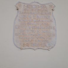
The settlement was founded in the early 1700s during the gold mining period in Bahia and served as a center for that economic activity. This era shaped how the town was built and its importance for centuries to follow.
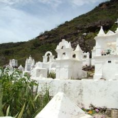
Daily life here reflects customs passed down through generations, visible in how locals prepare food and celebrate together throughout the year. The community keeps these traditions alive through regular gatherings and shared practices that define who they are.
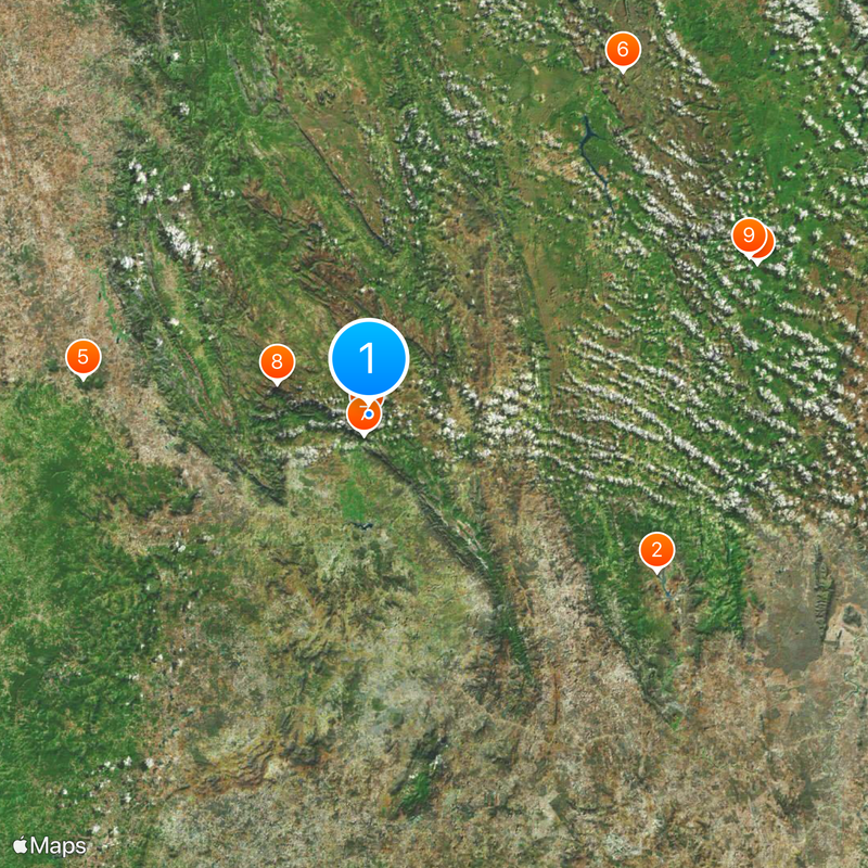
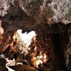
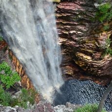
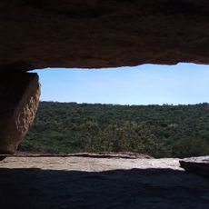
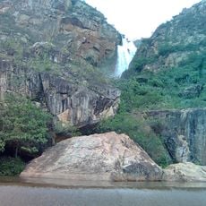
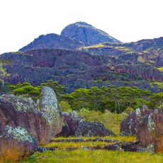
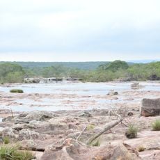
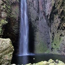
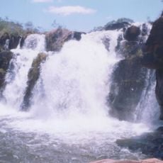
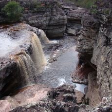
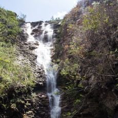
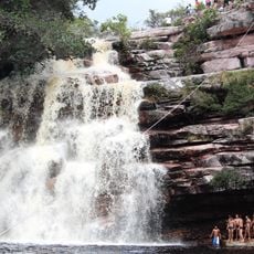
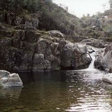
The town has places to stay and eat that serve regional food for visitors who want to spend time here. From here you can reach trails and the surrounding highland landscape on foot or with a local guide.
The architecture and town layout are officially protected, meaning many older buildings including the town hall and former prison structures remain safeguarded. This protection status has allowed the place to keep its appearance from earlier times largely unchanged.
Location: Bahia
Elevation above the sea: 547 m
Shares border with: Abaíra, Livramento de Nossa Senhora, Brumado, Dom Basílio, Érico Cardoso, Ituaçu, Jussiape, Rio do Pires
Website: http://riodecontas.ba.gov.br
GPS coordinates: -13.57889,-41.81083
Latest update: December 20, 2025 15:16
Gruta de Mangabeira
60.7 km
Church of Our Lady of Santana
599 m
Cachoeira do Buracão
77.2 km
Pedra da Santana
53.2 km
Cemitério Santa Isabel
79.1 km
Cachoeira Véu de Noiva
3.9 km
Pico das Almas
18 km
Parque Natural Municipal do Espalhado
76.2 km
Cachoeira da Fumacinha
68.3 km
Área de Proteção Ambiental da Serra do Barbado
45.1 km
Cachoeira do Fraga
2.9 km
Conjunto Arquitetônico e Paisagístico da Cidade de Mucujê
79.6 km
Contendas de Sincorá National Forest
86.9 km
Cachoeira das Orquídeas
77.2 km
Cachoeira do Licuri
66.6 km
Cachoeira Véu de Noiva
66.9 km
Parque Municipal Natural da Serra das Almas
14.9 km
Conjunto Arquitetônico da Cidade de Rio de Contas
285 m
Cachoeira da Moça Loira
76.9 km
Casa Natal de Abílio César Borges, à rua Barão de Macaúbas, 19
149 m
Poço das Andorinhas
14.7 km
Cachoeira da Velha
18.3 km
Gerais do Machobongo
69.3 km
Casa de Câmara e Cadeia, Rio de Contas
301 m
Parish Church of the Blessed Sacrament
281 m
Casa à Rua Barão de Macaúbas, N° 11
202 m
Historical Archive Municipal Memory of Brumado
71.5 kmVisited this place? Tap the stars to rate it and share your experience / photos with the community! Try now! You can cancel it anytime.
Discover hidden gems everywhere you go!
From secret cafés to breathtaking viewpoints, skip the crowded tourist spots and find places that match your style. Our app makes it easy with voice search, smart filtering, route optimization, and insider tips from travelers worldwide. Download now for the complete mobile experience.
A unique approach to discovering new places❞
— Le Figaro
All the places worth exploring❞
— France Info
A tailor-made excursion in just a few clicks❞
— 20 Minutes