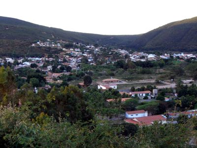
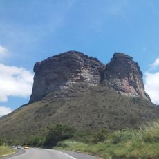
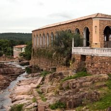
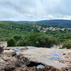
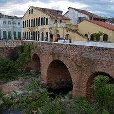
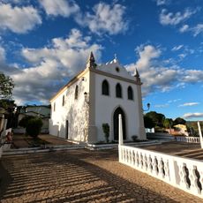
Palmeiras, Mountain town in Chapada Diamantina, Brazil.
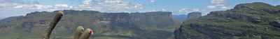
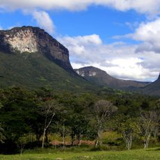
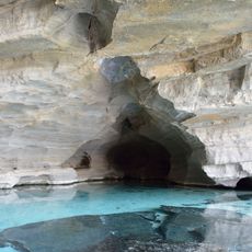
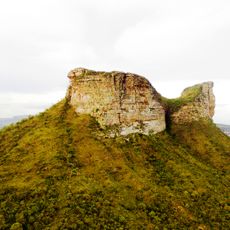
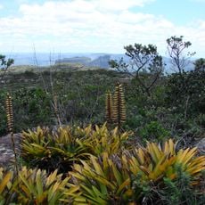
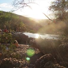
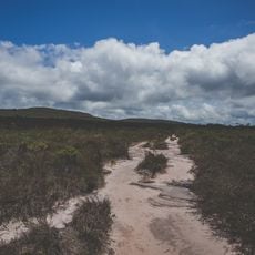
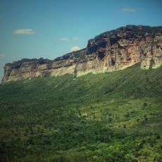
Palmeiras is a municipality nestled in the Chapada Diamantina mountains, spreading across valleys and high plateaus in northeastern Brazil. It sits at around 684 meters elevation and borders the national park of the same name, offering gateways to hiking trails and natural areas.
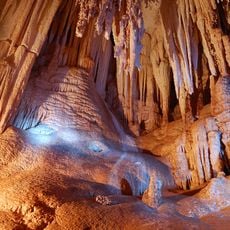
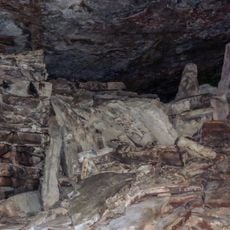
During the 1800s, the area was a major diamond mining hub where thousands worked extracting stones from the earth. When the national park was established, the focus shifted from mining to protecting the land, creating opportunities for visitors to explore the natural landscape.
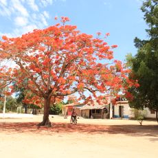
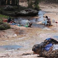
The town's identity is rooted in its past as a diamond mining center, which locals celebrate through festivals and traditional music that fill the streets. Regional cooking uses tropical fruits and local ingredients, reflecting the land's natural abundance and the community's connection to it.
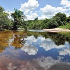
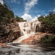
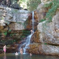
Buses run regularly from the town center to nearby villages and hiking areas, with multiple departures throughout the day to reach different sections of the park. Planning ahead helps visitors make the most of their time exploring the marked trails and waterfalls in the region.
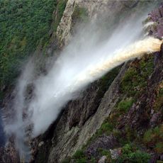
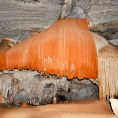
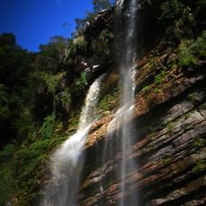
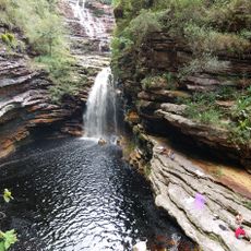
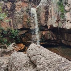
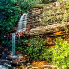
One surprising feature is a massive waterfall nearby that plunges from a cliff face and disperses into mist before reaching the ground below. Visitors often arrive unprepared for how the water breaks apart in the air, especially during rainy months when flow is at its strongest.
The community of curious travelers
AroundUs brings together thousands of curated places, local tips, and hidden gems, enriched daily by 60,000 contributors worldwide.