Saubara, Municipality of Brazil in Bahia state.
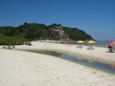
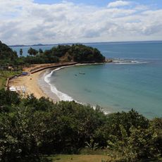
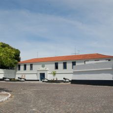
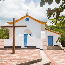
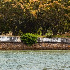
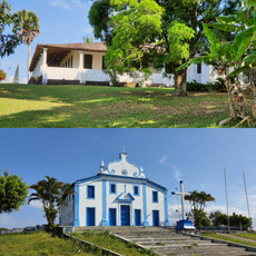
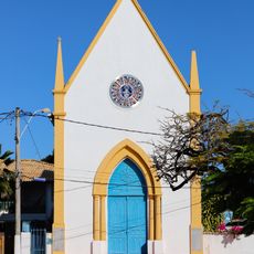
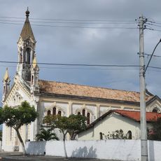
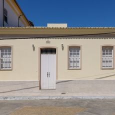
Saubara is a municipality on the coast of Bahia featuring a varied landscape of beaches, rocky cliffs, and mangrove forests. The area comprises several villages including Cabuçu, Bom Jesus dos Pobres, and Araripe that together form this coastal region.
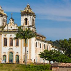
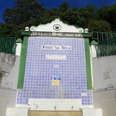
The region took shape in the mid-1500s near Ponta de Saubara as people adapted to coastal life in this area. The name comes from saúva ants, which were noted by the indigenous inhabitants who first lived here.
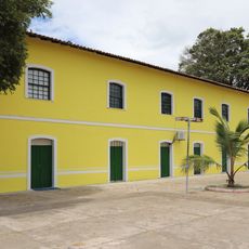
The municipality incorporates multiple villages including Cabuçu, Bom Jesus dos Pobres, and Araripe, each contributing distinct local traditions to the region.
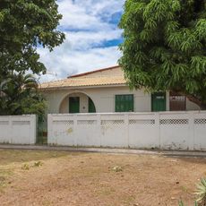
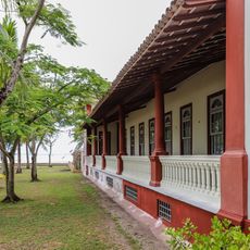
The municipality sits roughly 100 kilometers from Salvador, making it accessible as a day trip from the capital. The flat to gently rolling terrain makes walking around comfortable and offers good views of the coastal landscape.
The place name underwent a shift during colonial times, with the original indigenous word being adapted through language changes of the period. This transformation shows how European settlement reshaped local nomenclature across the region.
Location: Bahia
Elevation above the sea: 86 m
Shares border with: Salvador, Madre de Deus, Salinas da Margarida, Cachoeira, Maragogipe, Santo Amaro, São Francisco do Conde
GPS coordinates: -12.73778,-38.76889
Latest update: December 8, 2025 13:44
São Francisco do Paraguaçu
11.1 km
Convent and Church of Saint Antony
11.4 km
Praia da Ponta de Nossa Senhora
16.1 km
Forte de São Lourenço
18.2 km
Igreja de Nossa Senhora de Guadalupe
16.2 km
Fort of the Holy Cross (São Roque do Paraguaçu)
12.1 km
Parish Church of Santiago, Iguape
11.5 km
Igreja de São Lourenço
18.5 km
Baía do Iguape Marine Extractive Reserve
13.3 km
Conjunto Arquitetônico, Urbanístico e Paisagístico, inclusive a Igreja Matriz do Santíssimo Sacramento
18.5 km
Ilha dos Frades lighthouse
16.3 km
Casa Grande e Capela da Antiga Fazenda São Roque
15.1 km
Capela de Nossa Senhora da Penha
11.3 km
Town Hall and Prison
16.9 km
Igreja Nossa Senhora da Conceição
15.2 km
Igreja Nossa Senhora da Encarnação
20.8 km
Capela do Santo Antonio dos Navegantes
19.6 km
Igreja de Nossa Senhora da Lapa
16.6 km
Sobrado da Filarmônica Terpsícore Popular
16.8 km
Igreja de Nossa Senhora da Piedade
18.3 km
Fonte da Bica
19.3 km
Igreja Matriz de Nossa Senhora do Carmo
14.9 km
Casa de João Ubaldo Ribeiro
18.3 km
Casa à Rua Luís da Gran
18.5 km
Sobrado Tenente João das Botas
18.4 km
Mercado Municipal de Itaparica
18.6 km
Casa do Pedreira
18.6 km
Casa no Campo Formoso, 80
18.8 kmVisited this place? Tap the stars to rate it and share your experience / photos with the community! Try now! You can cancel it anytime.
Discover hidden gems everywhere you go!
From secret cafés to breathtaking viewpoints, skip the crowded tourist spots and find places that match your style. Our app makes it easy with voice search, smart filtering, route optimization, and insider tips from travelers worldwide. Download now for the complete mobile experience.
A unique approach to discovering new places❞
— Le Figaro
All the places worth exploring❞
— France Info
A tailor-made excursion in just a few clicks❞
— 20 Minutes