Teotônio Vilela, Municipality in Alagoas, Brazil.
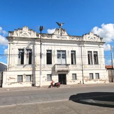
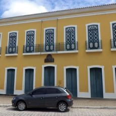
Teotônio Vilela is a municipality in eastern Alagoas state with a rural character shaped by agricultural activity. The settlement developed along a major highway route and contains small commercial establishments and services that serve the local population.
The settlement started in 1955 when a truck with a broken tire began selling food at a highway location, creating an impromptu marketplace. In 1983, the area was renamed after Senator Teotônio Vilela and gradually became an agricultural center.
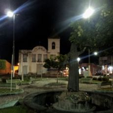
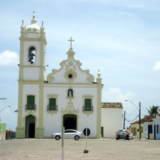
The municipality celebrates two main annual festivals: Santos Reis Day on January 6 and Political Emancipation Day on December 12, which hold special meaning for local residents.
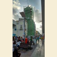
The municipality is best explored by car since it spreads along the BR-101 highway corridor. Most shops and services cluster near the main road and are easy to reach on foot from there.
The original name of the settlement was Chã da Planta, reflecting its humble start on an open field. Older residents still recall this former name, even though the official designation changed decades ago.
GPS coordinates: -9.90627,-36.35713
Latest update: December 10, 2025 15:54
Estádio Rei Pelé
70.6 km
Praia do Francês
58.8 km
Praia do Gunga
49.9 km
Church of Our Lady of Chains
49.6 km
Dunas de Marapé
37.6 km
Tribunal de Justiça
72.8 km
Teatro Deodoro
72.7 km
Church of Our Lady of the Angels
49.4 km
Instituto Histórico e Geográfico de Alagoas
73 km
Academia Alagoana de Letras
72.8 km
Museu de Arte Sacra do Estado de Alagoas
55.1 km
Piaçabuçu Environmental Protection Area
51.3 km
Casa de Graciliano Ramos
62.9 km
Casa natal do Marechal Deodoro da Fonseca
55.2 km
Lagoa do Jequiá Marine Extractive Reserve
43.5 km
Casa do Barão do Penedo
49.5 km
Coruripe Lighthouse
38 km
Grupo Escolar Coronel João Fernandes de Brito
62.3 km
Igreja de São Gonçalo Garcia
49.7 km
Theatro Sete de Setembro
49.6 km
Igreja do Rosário
51.6 km
Igreja Nossa Senhora Mãe dos Homens
68.8 km
Igreja Matriz de Nossa Senhora da Conceição
54.7 km
Igreja de Nossa Senhora do Livramento
73 km
Government of Alagoas
72.8 km
Conjunto arquitetônico, paisagístico e urbanístico de Penêdo, Alagoas
49.6 km
Paço Imperial
49.6 km
Catedral Diocesana
49.4 kmVisited this place? Tap the stars to rate it and share your experience / photos with the community! Try now! You can cancel it anytime.
Discover hidden gems everywhere you go!
From secret cafés to breathtaking viewpoints, skip the crowded tourist spots and find places that match your style. Our app makes it easy with voice search, smart filtering, route optimization, and insider tips from travelers worldwide. Download now for the complete mobile experience.
A unique approach to discovering new places❞
— Le Figaro
All the places worth exploring❞
— France Info
A tailor-made excursion in just a few clicks❞
— 20 Minutes