Enable Location

We need your location to show you interesting places around you

Discover nearby places

Find interesting locations and hidden gems around you

Precise directions

Get accurate directions and distances to places

Your location is never shared with other users. It's only used when you tap the location button.

Araguatins

Log in to your account

Join the adventure

Create your free account and start exploring (like 60k+ others)

We will send you a code to connect

or
Continue with Google
Continue with Apple
By continuing, you accept our Terms and Conditions and our Privacy Policy

Check your inbox

We've sent a pincode in your inbox. Please enter the code below.

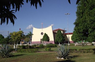
Araguatins, Regional administrative center in Tocantins, Brazil.

Description

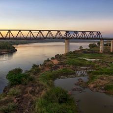
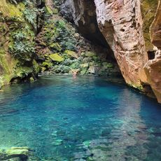
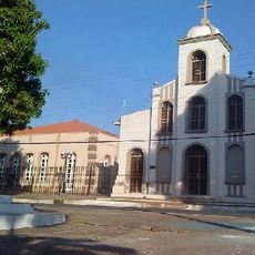
Araguatins is a municipality in Tocantins located in a region shaped by river systems and natural water formations. The town serves as a regional administrative center for the surrounding territories and communities.

History

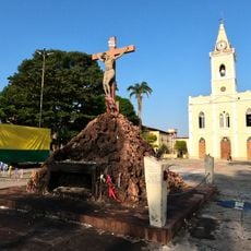
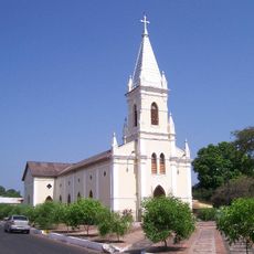
The municipality was founded in 1868 and renamed in 1943 during administrative reorganization of the region. These changes reflected broader developments in how the surrounding territories were managed and organized.

Culture

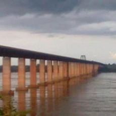
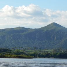
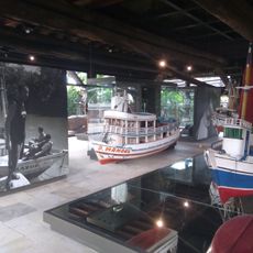
The local community has developed a strong connection to river life and waterfront activities as central parts of daily routines. Fishing and boat gatherings remain important social practices that bring people together throughout the year.

Practical

The location is accessible by road networks that link to surrounding areas and nearby states. Visitors traveling by land will find connections that serve the broader regional network.

Did you know?

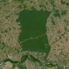
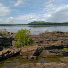
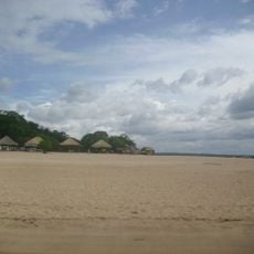
The natural sandy areas along the river become particularly accessible during dry months and shape how locals use the waterfront. These formations create distinct zones within the broader landscape that visitors can explore.

Location
Elevation above the sea
103 m
Shares border with
Augustinópolis, Esperantina, Ananás, Axixá do Tocantins, Brejo Grande do Araguaia, Buriti do Tocantins, Palestina do Pará, São Bento do Tocantins, São João do Araguaia, São Sebastião do Tocantins
GPS coordinates
-5.65083,-48.12389
Latest update
December 7, 2025 20:43

AroundUs brings together thousands of curated places, local tips, and hidden gems, enriched daily by 60,000 contributors worldwide. Discover all places nearby (Tocantins).

« Araguatins - Regional administrative center in Tocantins, Brazil » is provided by Around Us (aroundus.com). Images and texts are derived from Wikimedia project under a Creative Commons license. You are allowed to copy, distribute, and modify copies of this page, under the conditions set by the license, as long as this note is clearly visible.

Discover hidden gems everywhere you go!

From secret cafés to breathtaking viewpoints, skip the crowded tourist spots and find places that match your style. Our app makes it easy with voice search, smart filtering, route optimization, and insider tips from travelers worldwide. Download now for the complete mobile experience.

Around Us App Screenshot

A unique approach to discovering new places

Le Figaro

All the places worth exploring

France Info

A tailor-made excursion in just a few clicks

20 Minutes

Around Us
Travel Guide & Maps
Download

Send to your phone

QR Code
1

Open the camera app on your mobile.

2

Point at the QR code with your camera. A notification will appear.

3

Tap the notification to open the link.