Acajutiba, Municipality in Bahia, Brazil
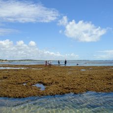
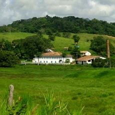
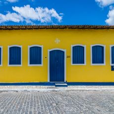
Acajutiba is a municipality in the northeastern state of Bahia, Brazil, located in a rural area with agricultural character. The town sits within this farming region and forms part of the northeastern landscape.
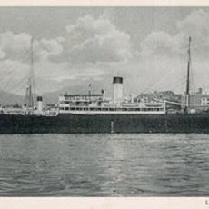
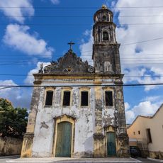
The area was fortified in 1637 by Dutch forces as a strategic outpost to monitor Portuguese colonial activities. This fortification marked an important moment in the region's early colonial struggles.
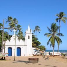
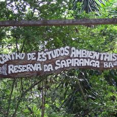
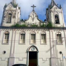
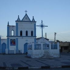
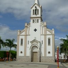
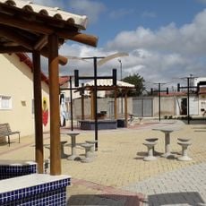
The town maintains local traditions through community festivals and gatherings that reflect northeastern Brazilian identity and agricultural roots. Visitors can experience these customs during local celebrations and in the daily life of residents.
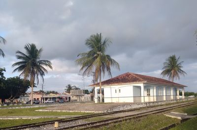
The municipality has a railway station serving as a central transportation hub connecting to other areas of the state. Visitors should expect rural infrastructure and check local transport options before traveling.
Remains of the former Dutch fortification still stand along the banks of the Itapicuru River, which the Dutch once named. These ruins serve as physical reminders of the lesser-known episode of Dutch presence in this Brazilian region.
GPS coordinates: -11.66097,-38.01864
Latest update: December 10, 2025 15:54
Praia do Forte
102 km
Casa da Torre de Garcia d'Ávila
102.2 km
Guarajuba
110.9 km
Baependy
112.7 km
Massarandupió
75.6 km
Itacimirim beach
107.7 km
Sapiranga Reserve
100.8 km
Parish Church of Our Lady of Victory
114.1 km
Sobrado à Rua das Flores
114.1 km
Fachadas Revestidas de Azulejos Portugueses--Rua Capitão Salomão nº. 67
76.8 km
Praia de Porto do Sauipe
82 km
Igreja da Ordem Terceira do Carmo (São Cristóvão)
114 km
Church and Convent of Mount Carmel
114 km
Igreja Matriz de Nossa Senhora do Monte
45.9 km
Parish Church of Santa Luzia do Itanhy
71.1 km
Sobrado at Rua da Matriz
114.2 km
Igreja de Nossa Senhora do Rosário
76.6 km
Usina São Félix
68.3 km
Orient Cinemas Shopping Serrinha
107.4 km
Igreja de Nossa Senhora da Conceição do Raso de Araci
109.5 km
Church of Our Lady of Protection of the Mulattoes
114.2 km
Centro Cultural de Araci
109.4 km
Igreja e Cruzeiro – Crisópolis
22 km
Museum of the City of Araci
109.4 km
Projeto Tamar
102 km
Igreja Matriz de Senhora Santana
105.2 km
Praça da Cultura e Juventude
109.4 km
Rua Messias Prado, 20
114.1 kmVisited this place? Tap the stars to rate it and share your experience / photos with the community! Try now! You can cancel it anytime.
Discover hidden gems everywhere you go!
From secret cafés to breathtaking viewpoints, skip the crowded tourist spots and find places that match your style. Our app makes it easy with voice search, smart filtering, route optimization, and insider tips from travelers worldwide. Download now for the complete mobile experience.
A unique approach to discovering new places❞
— Le Figaro
All the places worth exploring❞
— France Info
A tailor-made excursion in just a few clicks❞
— 20 Minutes