Bom Jesus das Selvas, Administrative municipality in Maranhão, Brazil.
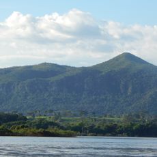
Bom Jesus das Selvas is a municipality in Maranhão state in northeastern Brazil, situated at an elevation of about 285 meters (935 feet). Located at coordinates 4.42°S and 46.765°W, it serves as the administrative center for its surrounding district.
This municipality was established as part of Brazil's broader administrative reorganization during the period of territorial expansion in the Oeste Maranhense region. The creation reflected the development of local governance structures in northeastern Brazil.
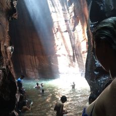
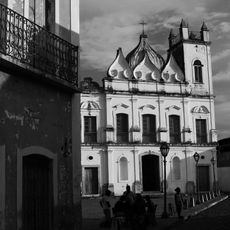
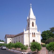
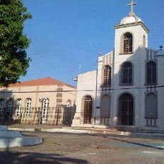
T h e town maintains strong ties to local religious traditions, particularly through its patron saint celebrations that bring together residents throughout the year. These gatherings reflect the spiritual values that shaped the community's identity and continue to guide its social fabric today.
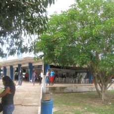
The municipality provides access to administrative services and public information through its official municipal website. Visitors can find local information and services through the town's online resources and administrative offices.
The municipality recorded a population of 34,567 residents in 2020, contributing to the demographic diversity of Maranhão state while maintaining its administrative autonomy.
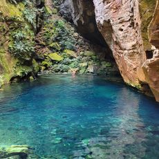
Location: Maranhão
Elevation above the sea: 285 m
Shares border with: Açailândia, Amarante do Maranhão, Bom Jardim, Buriticupu
GPS coordinates: -4.42000,-46.76500
Latest update: December 10, 2025 15:53
Chapada das Mesas National Park
290.9 km
Marabá Combined Bridge
275.3 km
Poço Azul
314.1 km
Pedra Caida
301.6 km
Cujupe
328 km
Church of Saint Joseph of the Exile
344.6 km
Estádio Municipal Zinho de Oliveira
282.9 km
Bacanga State Park
343.6 km
Monumento das Castanheiras Mortas
338.4 km
Terra Indígena Mãe Maria
251.8 km
Gurupi Biological Reserve
73.4 km
Ponte Juscelino Kubitschek de Oliveira
250.4 km
Museu Casa Histórica de Alcântara
343.7 km
Baixada Maranhense Environmental Protection Area
279 km
São Geraldo do Araguaia Environmental Protection Area
284.4 km
Puente Ferroviario de Estreito MA
250.2 km
Centro Cultural Vale Maranhão
344.6 km
Forte da Vera Cruz do Itapecuru
330.7 km
Encanto Azul
315.8 km
Serra dos Martírios/Andorinhas State Park
273.7 km
St. Therese Cathedral, Bacabal
221.9 km
Biblioteca Pública Municipal Orlando Lima Lobo
283 km
Cajàzeira River
317.9 km
Terra Indígena Barreirinha
222.4 km
Núcleo urbano da cidade de Alcântara
343.8 km
Casa de Câmara e Cadeia
343.7 km
Catedral Nossa Senhora da Fátima, Imperatriz
147.3 km
Igreja Matriz de São Matias
343.8 kmVisited this place? Tap the stars to rate it and share your experience / photos with the community! Try now! You can cancel it anytime.
Discover hidden gems everywhere you go!
From secret cafés to breathtaking viewpoints, skip the crowded tourist spots and find places that match your style. Our app makes it easy with voice search, smart filtering, route optimization, and insider tips from travelers worldwide. Download now for the complete mobile experience.
A unique approach to discovering new places❞
— Le Figaro
All the places worth exploring❞
— France Info
A tailor-made excursion in just a few clicks❞
— 20 Minutes