Enable Location

We need your location to show you interesting places around you

Discover nearby places

Find interesting locations and hidden gems around you

Precise directions

Get accurate directions and distances to places

Your location is never shared with other users. It's only used when you tap the location button.

Murici

Log in to your account

Start exploring — it's free

Trusted by 62,573 travelers worldwide

Continue with Google
Continue with Apple
or

We will send you a code to connect

By continuing, you accept our Terms and Conditions and our Privacy Policy

Check your inbox

We've sent a pincode in your inbox. Please enter the code below.

Murici, Municipality in Zona da Mata, Alagoas, Brazil

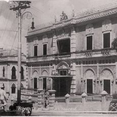
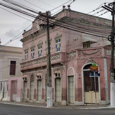
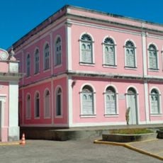
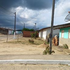
Murici is a municipality in the Zona da Mata region of Alagoas, situated at 82 meters elevation. The town functions as the administrative center for its surrounding area and manages local government services.

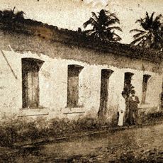
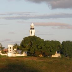
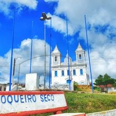
The municipality was established in 1872 and traces its roots to a murici tree planted by Friar Domingos around 1810. This tree became a stopping point for travelers and eventually lent its name to the growing settlement.

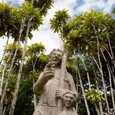
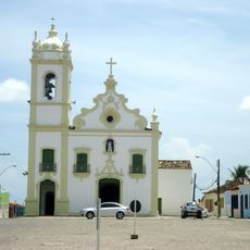
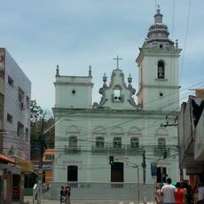
The community honors its patron saint Nossa Senhora das Graças through traditional festivals where residents gather for local music, dancing, and regional food. These celebrations shape the rhythm of life here and reveal how people maintain their roots.

Visitors can reach the municipal chamber online to follow legislative sessions or request public documents. The website offers practical resources for anyone needing to engage with local government services.

The region holds the largest continuous Atlantic Forest area in northeastern Brazil, protected under federal law. This forest zone harbors a remarkable diversity of plant and animal life rarely found elsewhere in the region.

The community of curious travelers

AroundUs brings together thousands of curated places, local tips, and hidden gems, enriched daily by 60,000 contributors worldwide.

Start exploring
Location
Elevation above the sea
82 m
Shares border with
Capela, Atalaia, Branquinha, União dos Palmares, Messias, Flexeiras, Rio Largo, Joaquim Gomes
GPS coordinates
-9.30694,-35.60944
Latest update
December 7, 2025 20:21
« Murici - Municipality in Zona da Mata, Alagoas, Brazil » is provided by Around Us (aroundus.com). Images and texts are derived from Wikimedia project under a Creative Commons license. You are allowed to copy, distribute, and modify copies of this page, under the conditions set by the license, as long as this note is clearly visible.

Discover hidden gems everywhere you go!

From secret cafés to breathtaking viewpoints, skip the crowded tourist spots and find places that match your style. Our app makes it easy with voice search, smart filtering, route optimization, and insider tips from travelers worldwide. Download now for the complete mobile experience.

Around Us App Screenshot

A unique approach to discovering new places

Le Figaro

All the places worth exploring

France Info

A tailor-made excursion in just a few clicks

20 Minutes

Around Us
Travel Guide & Maps
Download

Send to your phone

QR Code
1

Open the camera app on your mobile.

2

Point at the QR code with your camera. A notification will appear.

3

Tap the notification to open the link.