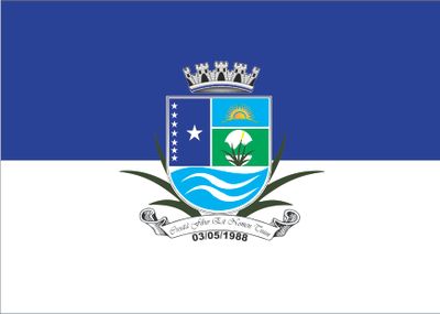
Croatá, Municipality in Noroeste Cearense region, Brazil
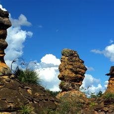
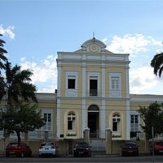
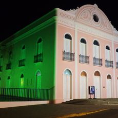
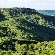
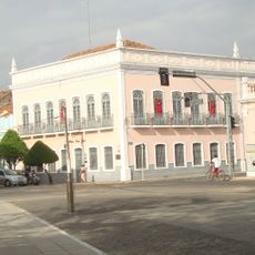
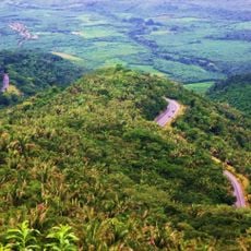
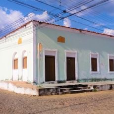
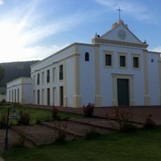
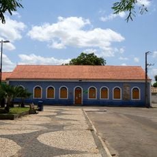
Croatá is a municipality in the northwestern region of Ceará state in Brazil, situated at an elevation of 674 meters above sea level. The administrative center operates from the Caroba district and serves as the hub for local government functions.
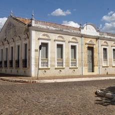
This municipality was established through the administrative reorganization of Ceará state in northeastern Brazil. Its formation came from systematic territorial divisions that shaped the region's current boundaries and municipal structure.
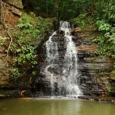
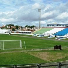
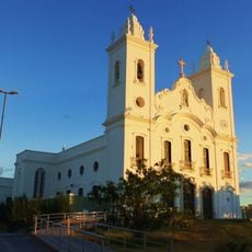
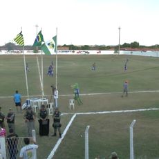
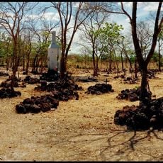
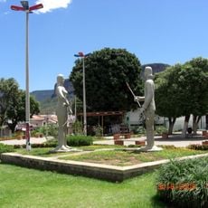
The residents of Croatá, known as Croataenses, maintain regional traditions through community gatherings and agricultural practices in the Noroeste Cearense region.
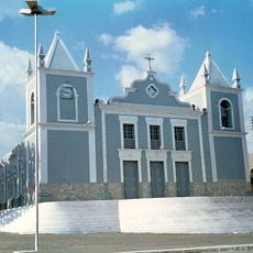
The town hall is located in the Caroba district and serves as the main point for local administrative matters and visitor information. The elevation of 674 meters means cooler temperatures than lower regions, which is worth noting when planning a visit.
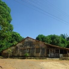
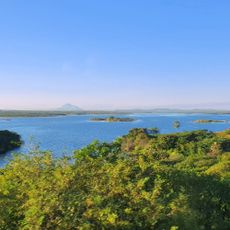
The local economy relies heavily on agriculture, which far surpasses industrial activity in economic output. This imbalance reveals the rural character of the municipality and its dependence on farming and related activities.
Location: Ceará
Elevation above the sea: 674 m
Shares border with: Guaraciaba do Norte, Ipú, Ipueiras, Pedro II
GPS coordinates: -4.40000,-40.91083
Latest update: December 7, 2025 20:48
Sete Cidades National Park
95.4 km
Ubajara National Park
70.6 km
Mother Church of Our Lady of the Assumption (Viçosa do Ceará)
95.1 km
Santa Casa de Misericórdia de Sobral
99.8 km
Estádio do Junco
101.1 km
Museu do Eclipse
100.4 km
Teatro São João
101 km
Serra das Almas Private Natural Heritage Reserve
82.4 km
Sobral Cathedral
100.6 km
Museu Dom José
101.3 km
Tatajuba
173.6 km
Serra da Ibiapaba Environmental Protection Area
64.5 km
Estádio Municipal Felipe Raulino
184.5 km
Praça Clóvis Beviláqua
95 km
Biblioteca Municipal Lustosa da Costa
100.5 km
Batalhão Cemetery
140.6 km
Pinacoteca de Sobral
101 km
Casarão do Embaixador
97.1 km
Casa de Fazenda da Dona Alemã
114.6 km
Iracema e o Guerreiro Branco Martim
23.9 km
Farol Luís Correia
180.5 km
Camocim Lighthouse
171.2 km
Barra dos remédios
168.6 km
Igreja Matriz de Nossa Senhora do Carmo
102.6 km
Igreja Nossa Senhora do Desterro
23.6 km
Antiga Intendência de Piracuruca
102.6 km
Açude Forquilha
99.3 km
Memorial Tertuliano Brandão Filho
60.9 kmVisited this place? Tap the stars to rate it and share your experience / photos with the community! Try now! You can cancel it anytime.
Discover hidden gems everywhere you go!
From secret cafés to breathtaking viewpoints, skip the crowded tourist spots and find places that match your style. Our app makes it easy with voice search, smart filtering, route optimization, and insider tips from travelers worldwide. Download now for the complete mobile experience.
A unique approach to discovering new places❞
— Le Figaro
All the places worth exploring❞
— France Info
A tailor-made excursion in just a few clicks❞
— 20 Minutes