
Poranga, Brazilian municipality in the state of Ceará
Location: Ceará
Elevation above the sea: 726 m
Shares border with: Ararendá, Crateús, Buriti dos Montes, Ipaporanga, Ipueiras, Pedro II
GPS coordinates: -4.74500,-40.92583
Latest update: March 4, 2025 01:11

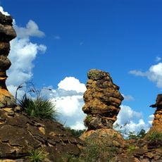
Sete Cidades National Park
113.4 km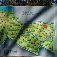
Parque Zoobotânico de Teresina
207.7 km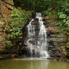
Ubajara National Park
109 km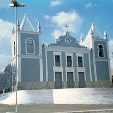
Mother Church of Our Lady of the Assumption (Viçosa do Ceará)
132.7 km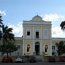
Santa Casa de Misericórdia de Sobral
133 km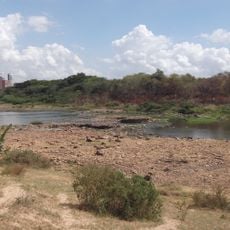
Floresta Fóssil de Teresina
210.1 km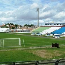
Estádio do Junco
134.6 km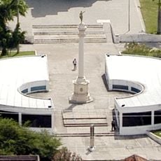
Museu do Eclipse
133.5 km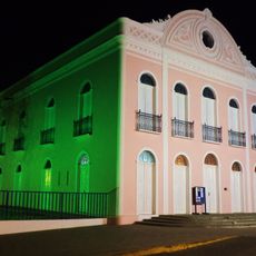
Teatro São João (Sobral)
134.1 km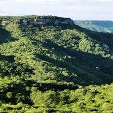
Serra das Almas Private Natural Heritage Reserve
44 km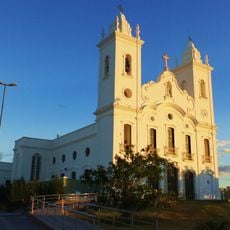
Sobral Cathedral
133.7 km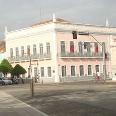
Museu Dom José
134.4 km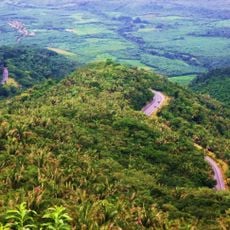
Serra da Ibiapaba Environmental Protection Area
90.8 km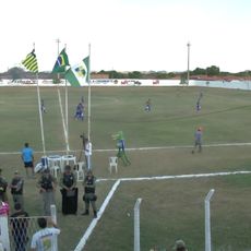
Estádio Municipal Felipe Raulino
171.7 km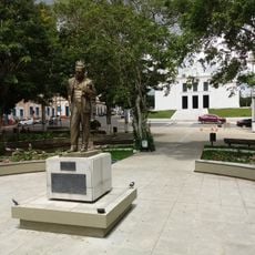
Praça Clóvis Beviláqua
132.6 km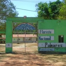
Palmares National Forest
188.3 km
Biblioteca Municipal Lustosa da Costa
133.6 km
Batalhão Cemetery
132.3 km
Pinacoteca de Sobral
134.1 km
Casarão do Embaixador
107.9 km
Casa de Fazenda da Dona Alemã
117.3 km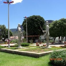
Iracema e o Guerreiro Branco Martim
52.6 km
Cinemas Teresina
210.4 km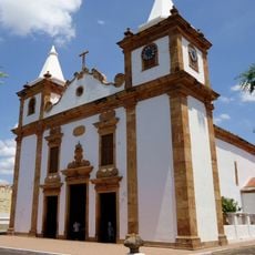
Igreja Matriz de Nossa Senhora do Carmo
125.3 km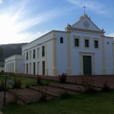
Igreja Nossa Senhora do Desterro
52.4 km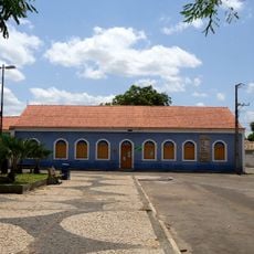
Antiga Intendência de Piracuruca
125.2 km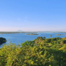
Açude Forquilha
129.3 km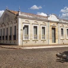
Memorial Tertuliano Brandão Filho
69 kmVisited this place? Tap the stars to rate it and share your experience / photos with the community! Try now! You can cancel it anytime.
Discover hidden gems everywhere you go!
From secret cafés to breathtaking viewpoints, skip the crowded tourist spots and find places that match your style. Our app makes it easy with voice search, smart filtering, route optimization, and insider tips from travelers worldwide. Download now for the complete mobile experience.

A unique approach to discovering new places❞
— Le Figaro
All the places worth exploring❞
— France Info
A tailor-made excursion in just a few clicks❞
— 20 Minutes