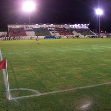
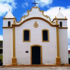
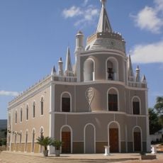
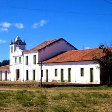
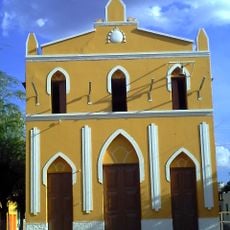
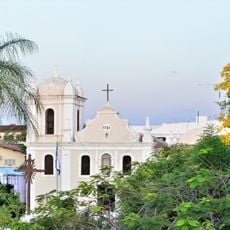
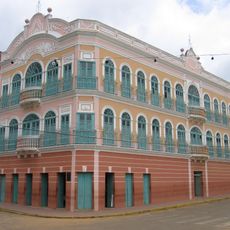
Serra Talhada, Administrative municipality in Pernambuco, Brazil
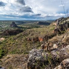
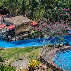
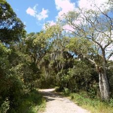
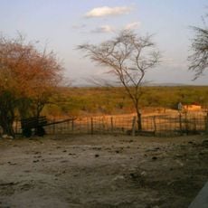
Serra Talhada is a municipality in northeastern Brazil located in Pernambuco state at around 430 meters (1,410 feet) in elevation. The area spans roughly 3,000 square kilometers and is characterized by agricultural land and native scrubland vegetation typical of the region.
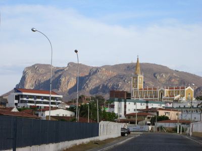
Originally named Villa Bella, the settlement received its present name Serra Talhada in 1856, referring to a distinctive hill that appears cut in half. This name change reflected the community's evolving identity and connection to its striking geographical landmark.
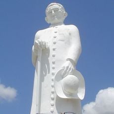
The town keeps alive the traditional xaxado dance, a movement style rooted in the region's Cangaceiros groups who once shaped local life. You can experience this dance tradition during local celebrations and cultural events.
The area has a local airport and thrives on extensive agricultural activities, particularly growing corn and beans across the landscape. Visitors will find themselves in a rural setting where these crops shape the everyday appearance of the land.
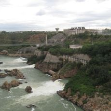
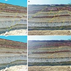
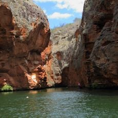
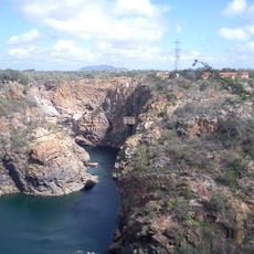
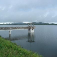
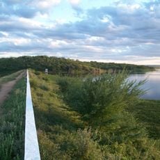
The Pajeú River serves as the main water source for the municipality and sustains the dry scrubland vegetation that dominates the landscape. This ecosystem with its adapted plants has evolved to thrive in the semi-arid conditions of the region.
Location: Pernambuco
Elevation above the sea: 430 m
Shares border with: São José do Belmonte, Calumbi, Floresta, Betânia, Carnaubeira da Penha, Conceição, Manaíra, Mirandiba, Santa Cruz da Baixa Verde, Santa Inês, Santana de Mangueira
Website: http://serratalhada.pe.gov.br
GPS coordinates: -7.98583,-38.29583
Latest update: December 11, 2025 18:08
Catimbau National Park
144.4 km
Paulo Afonso Hydroelectric Complex
157.4 km
Statue of Father Cícero
145.2 km
Santana Formation
141.2 km
Vale dos Dinossauros
136.6 km
Estádio Mauro Sampaio
141.1 km
Paulo Afonso Falls
156.6 km
Arajara Park
142.9 km
Rio São Francisco Natural Monument
173.2 km
Canyon of Xingo
175.3 km
Estádio Cornélio de Barros
91.3 km
Estádio Antônio Mariz
137.1 km
Usina Hidrelétrica de Angiquinho
156.9 km
BINGO
104.3 km
Catedral de Nossa Senhora da Penha da França de Crato
149 km
Pico do Jabre State Park
129.5 km
Estádio José Cavalcanti
155.4 km
Igreja de Nossa Senhora do Rosário
74.9 km
Igreja do Rosário de Barbalha
134.1 km
Açude Engenheiro Arcoverde
142.9 km
Águas Parque
27.4 km
Casa, Capela e Sobrado da Fazenda Acauã
132.5 km
Igreja Santo Antônio de Pádua
114.4 km
Igreja de Nossa Senhora do Rosário e Cruzeiro do Adro
145.9 km
Cine Teatro Guarany
26.7 km
Açude Sumé
156.5 km
Quilombo Riacho dos Porcos
112.4 km
Old Petrolandia Church
115.3 kmVisited this place? Tap the stars to rate it and share your experience / photos with the community! Try now! You can cancel it anytime.
Discover hidden gems everywhere you go!
From secret cafés to breathtaking viewpoints, skip the crowded tourist spots and find places that match your style. Our app makes it easy with voice search, smart filtering, route optimization, and insider tips from travelers worldwide. Download now for the complete mobile experience.
A unique approach to discovering new places❞
— Le Figaro
All the places worth exploring❞
— France Info
A tailor-made excursion in just a few clicks❞
— 20 Minutes