Enable Location

We need your location to show you interesting places around you

Discover nearby places

Find interesting locations and hidden gems around you

Precise directions

Get accurate directions and distances to places

Your location is never shared with other users. It's only used when you tap the location button.

Independência

Log in to your account

Start exploring — it's free

Trusted by 62,031 travelers worldwide

Continue with Google
Continue with Apple
or

We will send you a code to connect

By continuing, you accept our Terms and Conditions and our Privacy Policy

Check your inbox

We've sent a pincode in your inbox. Please enter the code below.

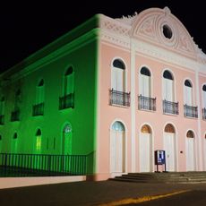
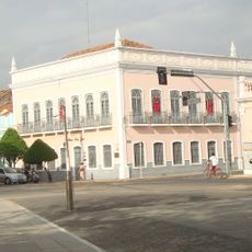
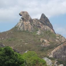
Independência, Municipality in Ceará, Brazil

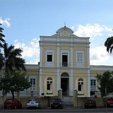
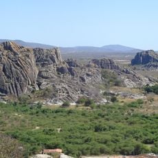
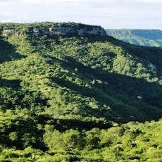
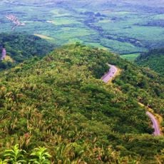
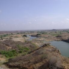
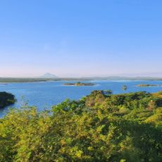
Independência is a municipality in the state of Ceará located in northeastern Brazil. It sits at approximately 343 meters in elevation and serves as an administrative division with road connections linking it to surrounding towns.

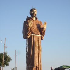
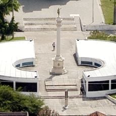
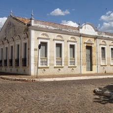
The town's name comes from Brazil's independence period between 1822 and 1824, when the region participated in the struggle against Portuguese rule. This historical episode shaped the identity and naming of the municipality.

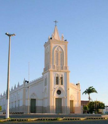
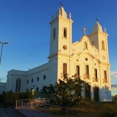
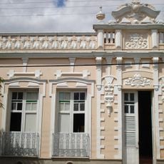
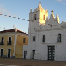
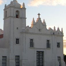
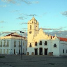
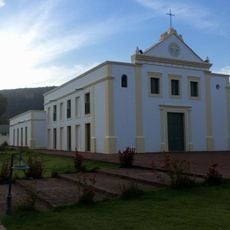
The central church serves as a gathering place for religious celebrations and community events throughout the year. It reflects the Catholic faith that remains important to daily life in the town.

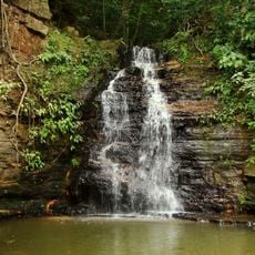
The town is connected to other settlements in Ceará through a network of roads that allow travel between neighboring communities. The cooler months generally offer more comfortable conditions for visiting and exploring the area.

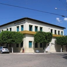
Independência maintains its status as both a municipality and administrative division, operating under two distinct organizational structures within the Brazilian government system.

The community of curious travelers

AroundUs brings together thousands of curated places, local tips, and hidden gems, enriched daily by 60,000 contributors worldwide.

Start exploring
Location
Elevation above the sea
343 m
Shares border with
Boa Viagem, Crateús, Monsenhor Tabosa, Novo Oriente, Pedra Branca, Quiterianópolis, Tamboril, Tauá
GPS coordinates
-5.39583,-40.30889
Latest update
December 7, 2025 20:47
« Independência - Municipality in Ceará, Brazil » is provided by Around Us (aroundus.com). Images and texts are derived from Wikimedia project under a Creative Commons license. You are allowed to copy, distribute, and modify copies of this page, under the conditions set by the license, as long as this note is clearly visible.

Discover hidden gems everywhere you go!

From secret cafés to breathtaking viewpoints, skip the crowded tourist spots and find places that match your style. Our app makes it easy with voice search, smart filtering, route optimization, and insider tips from travelers worldwide. Download now for the complete mobile experience.

Around Us App Screenshot

A unique approach to discovering new places

Le Figaro

All the places worth exploring

France Info

A tailor-made excursion in just a few clicks

20 Minutes

Around Us
Travel Guide & Maps
Download

Send to your phone

QR Code
1

Open the camera app on your mobile.

2

Point at the QR code with your camera. A notification will appear.

3

Tap the notification to open the link.