Enable Location

We need your location to show you interesting places around you

Discover nearby places

Find interesting locations and hidden gems around you

Precise directions

Get accurate directions and distances to places

Your location is never shared with other users. It's only used when you tap the location button.

Jaguaribe

Log in to your account

Start exploring — it's free

Trusted by 62,031 travelers worldwide

Continue with Google
Continue with Apple
or

We will send you a code to connect

By continuing, you accept our Terms and Conditions and our Privacy Policy

Check your inbox

We've sent a pincode in your inbox. Please enter the code below.

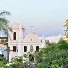
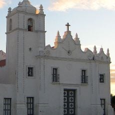
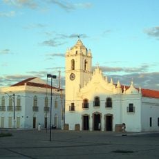
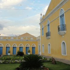
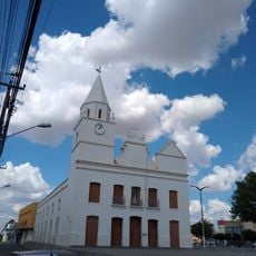
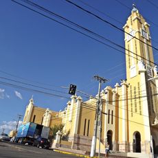
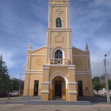
Jaguaribe, Administrative division in Northeast Brazil.

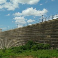
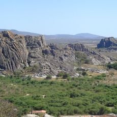
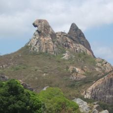
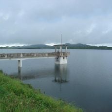
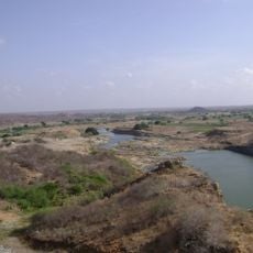
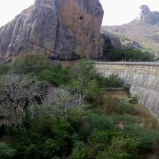
Jaguaribe is a municipality in Northeast Brazil featuring diverse landscapes across its territory, with sections of the Castanhão Dam reservoir system. This body of water shapes the geography and defines much of the local terrain.

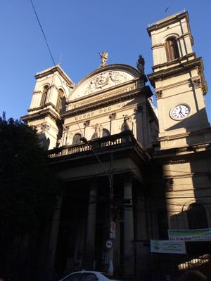
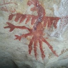
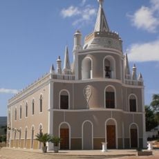
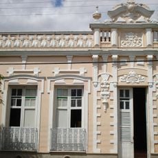
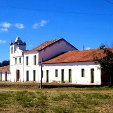
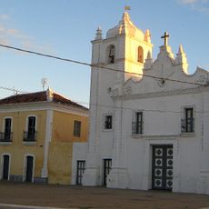
This municipality originated from early settlements in the region during colonial times and developed over centuries. In the 19th century, English coffee planter Henry Koster left notable historical marks on this area.

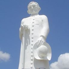
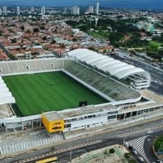
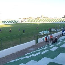
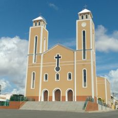
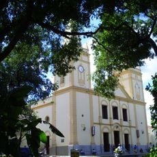
Jaguaribe's residents celebrate regional traditions through local festivals and events that shape daily life in the municipality. These gatherings reflect the crafts, music, and customs passed down through generations in Northeast Brazil.

The municipality has local administrative services and facilities that support the population living here. Planning a visit works best when you check ahead for local conditions and seasonal variations in the area.

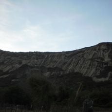
The Castanhão Dam system is the largest water reservoir in Ceará state and significantly shapes life in the region. Its vast water resources have become central to how the area developed and functions today.

The community of curious travelers

AroundUs brings together thousands of curated places, local tips, and hidden gems, enriched daily by 60,000 contributors worldwide.

Start exploring
Location
Elevation above the sea
144 m
Shares border with
Solonópole, Jaguaretama, Pereiro, Jaguaribara, Iracema, Quixelô, Icó, Orós
GPS coordinates
-5.89083,-38.62194
Latest update
December 7, 2025 10:08
« Jaguaribe - Administrative division in Northeast Brazil » is provided by Around Us (aroundus.com). Images and texts are derived from Wikimedia project under a Creative Commons license. You are allowed to copy, distribute, and modify copies of this page, under the conditions set by the license, as long as this note is clearly visible.

Discover hidden gems everywhere you go!

From secret cafés to breathtaking viewpoints, skip the crowded tourist spots and find places that match your style. Our app makes it easy with voice search, smart filtering, route optimization, and insider tips from travelers worldwide. Download now for the complete mobile experience.

Around Us App Screenshot

A unique approach to discovering new places

Le Figaro

All the places worth exploring

France Info

A tailor-made excursion in just a few clicks

20 Minutes

Around Us
Travel Guide & Maps
Download

Send to your phone

QR Code
1

Open the camera app on your mobile.

2

Point at the QR code with your camera. A notification will appear.

3

Tap the notification to open the link.