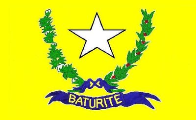
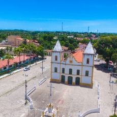
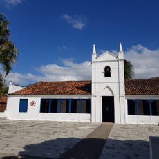
Baturité, Municipality and administrative center in Ceará, Brazil.
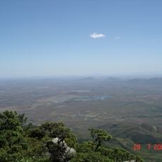
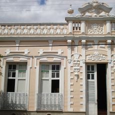
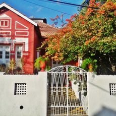
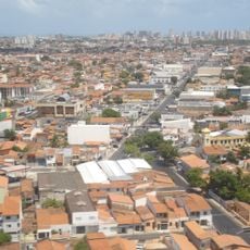
Baturité is a municipality in northeastern Brazil, located roughly 80 kilometers from Fortaleza at about 175 meters elevation. The town serves as an administrative center and covers an area of 308 square kilometers.
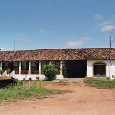
The region received its first railway line in 1873, which transformed transportation and economic life across northeastern Brazil. This rail connection made the town an important trading hub connecting the coast with inland areas.
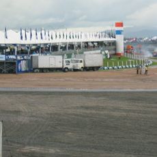
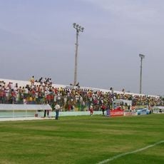
The annual Business Fair draws merchants, artists, and performers who showcase northeastern traditions and local crafts. Walking through the fair, you can see how communities here celebrate their agricultural heritage and regional identity.
Regular bus connections link the town to Fortaleza, making it easy to reach by public transport. Local accommodations throughout the area offer regional dishes and farm products, giving visitors direct access to what locals eat and produce.
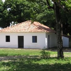
The old train station now operates as a museum, preserving railroad artifacts and documents from the area's transportation past. Visitors can explore these remnants and learn how the railway shaped life in this region.
Location: Ceará
Elevation above the sea: 175 m
Shares border with: Aracoiaba, Capistrano, Guaramiranga, Ibaretama, Itapiúna, Mulungu, Pacoti, Redenção
GPS coordinates: -4.32889,-38.88500
Latest update: December 7, 2025 10:06
Castelão
70.7 km
Estatua de San Francisco de Asís
46.8 km
Museu Senzala Negro Liberto
21.5 km
Casa de José de Alencar
73.2 km
Parque del Sol
72.2 km
Autódromo Internacional Virgílio Távora
67.2 km
Pico da Rajada
51.5 km
Mother Church of São José de Ribamar
72.6 km
Quixadá Monoliths Natural Monument
71.4 km
Igreja Matriz Nossa Senhora dos Prazeres
70.9 km
Pico Alto
16.7 km
Museu da Cachaça
49.5 km
Estádio Antônio Cruz
74.7 km
Prainha
74.7 km
Pedra da Galinha Choca
76 km
Museu Histórico Jacinto de Sousa
72.5 km
Stade Francisco Clenilson dos Santos
51.8 km
Solar dos Sampaios
20.6 km
Montese
72.9 km
Parque Ecológico da Lagoa da Maraponga
69.4 km
Conjunto Palmeiras
66.8 km
Cedro's Dam
74.9 km
Parque Estrela
49.6 km
Centerplex Gran Shopping Messejana
71.1 km
UCI Shopping Parangaba
71.2 km
Igreja Matriz de Baturité
197 m
Statue of Iracema
70.8 km
Área de Proteção Ambiental da Lagoa da Maraponga
69.4 kmVisited this place? Tap the stars to rate it and share your experience / photos with the community! Try now! You can cancel it anytime.
Discover hidden gems everywhere you go!
From secret cafés to breathtaking viewpoints, skip the crowded tourist spots and find places that match your style. Our app makes it easy with voice search, smart filtering, route optimization, and insider tips from travelers worldwide. Download now for the complete mobile experience.
A unique approach to discovering new places❞
— Le Figaro
All the places worth exploring❞
— France Info
A tailor-made excursion in just a few clicks❞
— 20 Minutes