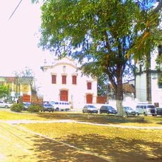
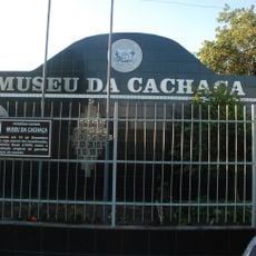
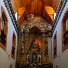
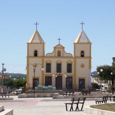
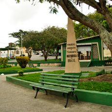
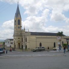
Queimadas, Municipality in Paraíba, Brazil
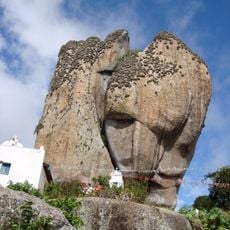
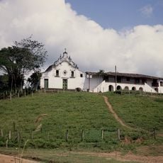
Queimadas is a municipality in Paraíba situated on the Borborema Plateau at an elevation of around 450 meters. The landscape features rocky formations and rolling terrain typical of this elevated region.
The municipality was founded in 1961, emerging from a settlement into an independent administrative division. This establishment marked a key moment in the region's administrative development.
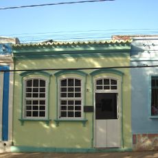
Multiple urban neighborhoods including Anibal Teixeira, Castanho, Centro, and Vila Nova shape the residential patterns of this Paraíba municipality.
The municipality is connected to neighboring towns through a network of regional roads. Visitors should expect the hilly terrain to add travel time between different areas.
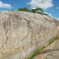
The Serra do Bodopitá mountain range cuts through the municipality, creating a distinctive geographical boundary in the Brazilian semi-arid region. This ridge shapes the local landscape with its rocky features.
Location: Paraíba
Elevation above the sea: 450 m
Shares border with: Campina Grande, Aroeiras, Barra de Santana, Caturité, Fagundes, Gado Bravo
Website: http://queimadas.pb.gov.br
GPS coordinates: -7.35778,-35.89778
Latest update: December 7, 2025 20:49
Ingá Stone
34.7 km
Feira de Caruaru
104.3 km
Açude Velho
14.9 km
Sanctuary of Frei Damiao
73.6 km
Museum of Popular Arts of Paraíba
15 km
Pedra de Santo Antônio
11.4 km
Estadio Antônio Inácio de Souza
104.1 km
Severino Cabral Municipal Theatre
15.3 km
Estádio Renato Cunha Lima
15.4 km
Assis Chateaubriand Museum of Art
15.3 km
Historical and Geographic museum of Campina Grande
15.6 km
Museu do Algodão
14.3 km
Igreja da Ordem Terceira do Carmo
101.5 km
Lacerdão
102.8 km
Museum of Pedro Américo's House
48.3 km
Estádio Otávio Limeira Alves
74.3 km
Museu da Cachaça
83.3 km
Igreja de Nossa Senhora do Rosário dos Pretos
85.6 km
Centro Histórico de Alagoa Grande
46.1 km
Church of Our Lady of Sorrows
100.3 km
Centro Histórico de Bananeiras
73.1 km
Parque do Povo
15 km
Cinesercla Campina Grande
14 km
Igreja Matriz de Nossa Senhora da Piedade (Arara)
61 km
Centro Histórico de Campina Grande
15.6 km
Capela do Engenho Una
98.4 km
Engenho Poço Comprido
65.3 km
Historic center of Areia
48.3 kmVisited this place? Tap the stars to rate it and share your experience / photos with the community! Try now! You can cancel it anytime.
Discover hidden gems everywhere you go!
From secret cafés to breathtaking viewpoints, skip the crowded tourist spots and find places that match your style. Our app makes it easy with voice search, smart filtering, route optimization, and insider tips from travelers worldwide. Download now for the complete mobile experience.
A unique approach to discovering new places❞
— Le Figaro
All the places worth exploring❞
— France Info
A tailor-made excursion in just a few clicks❞
— 20 Minutes