Enable Location

We need your location to show you interesting places around you

Discover nearby places

Find interesting locations and hidden gems around you

Precise directions

Get accurate directions and distances to places

Your location is never shared with other users. It's only used when you tap the location button.

Varjota

Log in to your account

Start exploring — it's free

Trusted by 62,033 travelers worldwide

Continue with Google
Continue with Apple
or

We will send you a code to connect

By continuing, you accept our Terms and Conditions and our Privacy Policy

Check your inbox

We've sent a pincode in your inbox. Please enter the code below.

Varjota, Municipality in Ceará, Brazil

Varjota is a municipality in the Noroeste Cearense region of Ceará, located at about 162 meters (531 feet) above sea level. The town encompasses several settlements including Americana, Angelim, and Anselmo within its administrative boundaries.

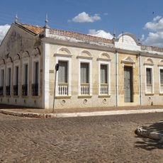
The establishment of this municipality was part of an administrative reorganization in northeastern Brazil during the 20th century. This development helped strengthen regional infrastructure and contributed to the overall growth of Ceará state.

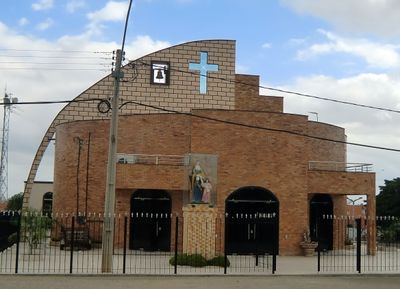
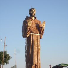
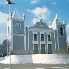
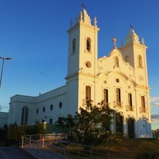
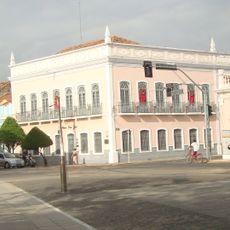
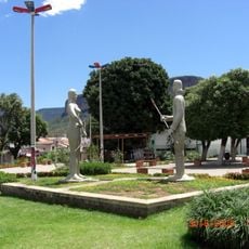
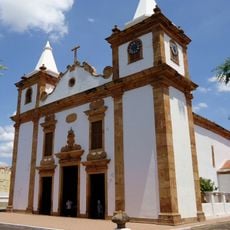
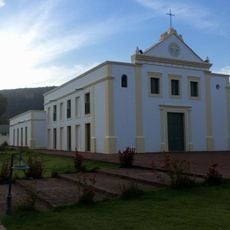
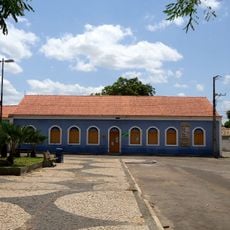
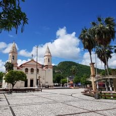
The main church serves as a central meeting place for worship and community gatherings, showing how important faith is in daily life here. The church shapes the town center and reflects the religious traditions that define the local culture.

The municipality connects to neighboring towns through main roads like Avenida Presidente Castelo Branco and Rodovia Deputado Elísio Aguiar. These routes make regional travel straightforward and are essential for moving between communities in the area.

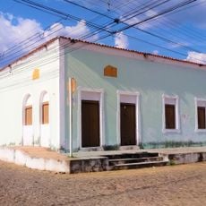
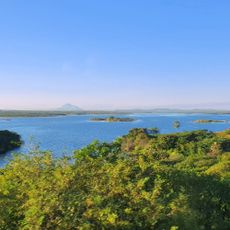
The municipality incorporates several villages such as Capoeiras, Croatá, and Jenipapo, each preserving its own local character. Each of these settlements adds its own traditions and ways of living to the broader community.

The community of curious travelers

AroundUs brings together thousands of curated places, local tips, and hidden gems, enriched daily by 60,000 contributors worldwide.

Start exploring
Location
Elevation above the sea
162 m
Shares border with
Cariré, Pires Ferreira, Reriutaba, Santa Quitéria
GPS coordinates
-4.19389,-40.47694
Latest update
December 7, 2025 20:49
« Varjota - Municipality in Ceará, Brazil » is provided by Around Us (aroundus.com). Images and texts are derived from Wikimedia project under a Creative Commons license. You are allowed to copy, distribute, and modify copies of this page, under the conditions set by the license, as long as this note is clearly visible.

Discover hidden gems everywhere you go!

From secret cafés to breathtaking viewpoints, skip the crowded tourist spots and find places that match your style. Our app makes it easy with voice search, smart filtering, route optimization, and insider tips from travelers worldwide. Download now for the complete mobile experience.

Around Us App Screenshot

A unique approach to discovering new places

Le Figaro

All the places worth exploring

France Info

A tailor-made excursion in just a few clicks

20 Minutes

Around Us
Travel Guide & Maps
Download

Send to your phone

QR Code
1

Open the camera app on your mobile.

2

Point at the QR code with your camera. A notification will appear.

3

Tap the notification to open the link.