Enable Location

We need your location to show you interesting places around you

Discover nearby places

Find interesting locations and hidden gems around you

Precise directions

Get accurate directions and distances to places

Your location is never shared with other users. It's only used when you tap the location button.

Itarema

Log in to your account

Start exploring — it's free

Trusted by 62,021 travelers worldwide

Continue with Google
Continue with Apple
or

We will send you a code to connect

By continuing, you accept our Terms and Conditions and our Privacy Policy

Check your inbox

We've sent a pincode in your inbox. Please enter the code below.

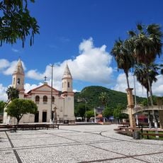
Itarema, Coastal municipality in Ceará, Brazil

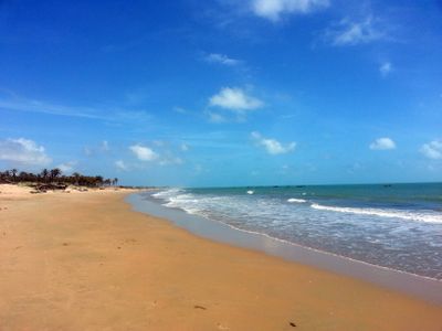
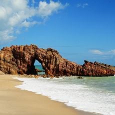
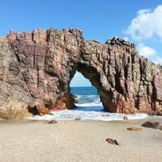
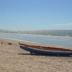
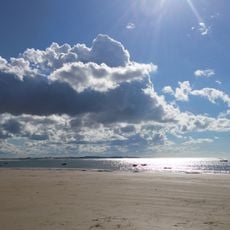
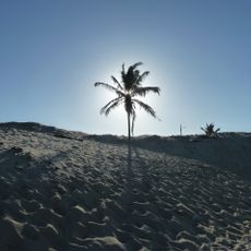
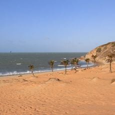
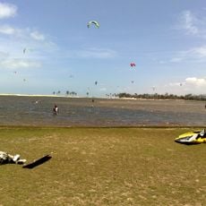
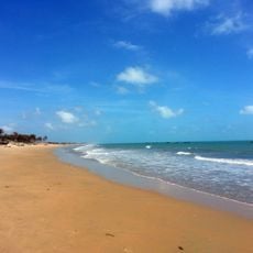
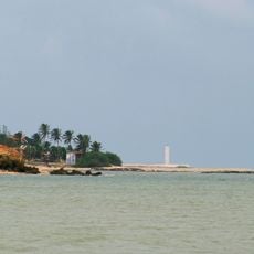
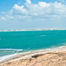
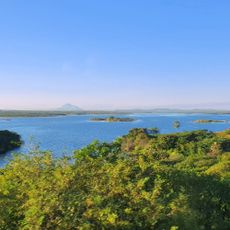
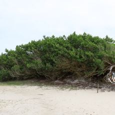
Itarema is a municipality stretching along the northern coast of Ceará state with beaches of white sand bordered by palm trees. The territory sits at approximately 35 meters above sea level and includes several smaller fishing villages throughout the area.

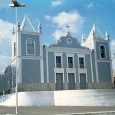
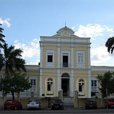
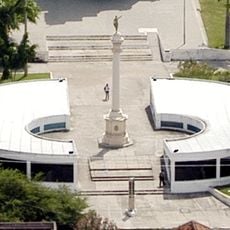
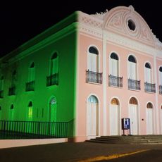
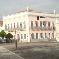
The area grew from early settlements into an administrative division, reflecting the long evolution of coastal communities in northeastern Brazil. This development continues to shape how the municipality functions today.

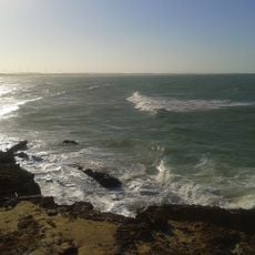
The people here maintain traditional fishing customs visible in the daily work of coastal communities, where the sea shapes how they live and work. These practices form the foundation of local identity and give the region its distinctive character.

The municipality is accessible by paved roads connecting to main highways, and regular bus services link it to Fortaleza and surrounding areas. Using signage and maps helps visitors navigate between the different villages spread across the coast.

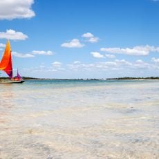
Small fishing villages here still use traditional jangada rafts, simple wooden boats that local fishermen have used for generations to work the coastal waters. These handmade vessels represent a rare example of ancient fishing methods that remain in daily use.

The community of curious travelers

AroundUs brings together thousands of curated places, local tips, and hidden gems, enriched daily by 60,000 contributors worldwide.

Start exploring
Location
Elevation above the sea
35 m
Shares border with
Amontada, Acaraú
GPS coordinates
-2.92000,-39.91500
Latest update
December 7, 2025 19:29
« Itarema - Coastal municipality in Ceará, Brazil » is provided by Around Us (aroundus.com). Images and texts are derived from Wikimedia project under a Creative Commons license. You are allowed to copy, distribute, and modify copies of this page, under the conditions set by the license, as long as this note is clearly visible.

Discover hidden gems everywhere you go!

From secret cafés to breathtaking viewpoints, skip the crowded tourist spots and find places that match your style. Our app makes it easy with voice search, smart filtering, route optimization, and insider tips from travelers worldwide. Download now for the complete mobile experience.

Around Us App Screenshot

A unique approach to discovering new places

Le Figaro

All the places worth exploring

France Info

A tailor-made excursion in just a few clicks

20 Minutes

Around Us
Travel Guide & Maps
Download

Send to your phone

QR Code
1

Open the camera app on your mobile.

2

Point at the QR code with your camera. A notification will appear.

3

Tap the notification to open the link.