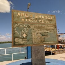
Macau, Administrative region in Rio Grande do Norte, Brazil
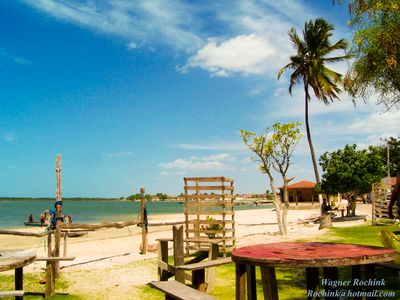
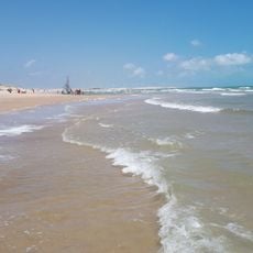
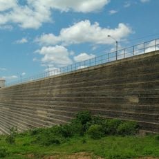
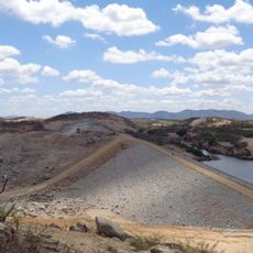
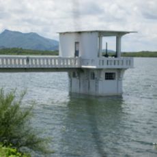
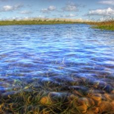
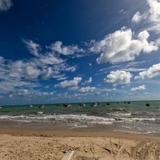
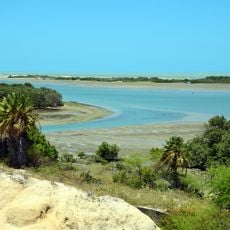
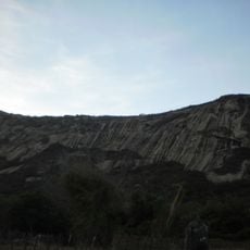
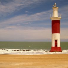
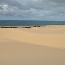
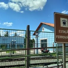
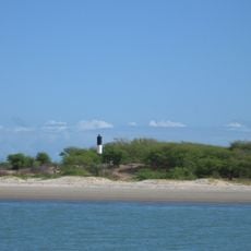
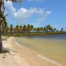
Macau is a coastal municipality in Rio Grande do Norte with extensive salt flats and fishing harbors dotting the landscape. The town is characterized by flat, open terrain where saltwater evaporates in shallow ponds and fishing vessels line the waterfront areas.
The town was founded by Portuguese settlers in the 16th century as a strategic location for salt and fishing operations. This economic structure, established centuries ago, continues to define the region today.
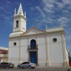
The town's character revolves around salt and fishing traditions, visible in daily routines and local celebrations that bring together the community throughout the year. These activities shape how residents live and interact with their environment.
Visit during the drier months when the salt flats are most visible and the weather remains stable. The local infrastructure is modest, so plan to arrange supplies and services in larger nearby cities before exploring the area.
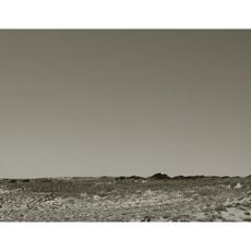
The region accounts for a major share of Brazil's marine salt production, with the salt flats forming a visibly large expanse across the landscape. This industrial-scale operation shapes what you see when touring the area.
Location: Rio Grande do Norte
Elevation above the sea: 17 m
Part of: Macau
Shares border with: Guamaré, Afonso Bezerra, Carnaubais, Pedro Avelino, Pendências, Porto do Mangue
Website: http://macau.rn.gov.br
GPS coordinates: -5.11500,-36.63389
Latest update: December 7, 2025 19:22
Canoa Quebrada
134.4 km
Saint Rita of Cascia statue
142.4 km
Pico do Cabugi
74.4 km
Lajedo de Soledade
142.8 km
Memorial da Resistência Mossoroense
79.8 km
Santa Cruz Dam
148.1 km
Calcanhar Lighthouse
127.3 km
Oiticica Dam
127.8 km
Açude Itans
161.3 km
Furna Feia National Park
97.4 km
Parrachos de Maracajaú
151.6 km
Maracajaú
150.2 km
Teatro Municipal Dix-Huit Rosado
79.4 km
St. Ann Cathedral, Caicó
157.9 km
Reserva de Desenvolvimento Sustentável Estadual Ponta do Tubarão
32.1 km
Serra do Lima
155.7 km
Galinhos Lighthouse
38.2 km
Environmental protection area of Dunas do Rosado
26.3 km
Apertados Canyon
136.8 km
Estação Ceará Mirim
146.2 km
Ponta do Mel Lighthouse
31.9 km
Pontal Light
59.9 km
Pico do Cabugi
74.3 km
Marco zero da cidade de Areia Branca
58.5 km
Church of Our Lady of the Rosary
147.3 km
Igreja de Nossa Senhora do Rosário dos Pretos (Aracati)
140.2 km
Barra de Punaú
143.7 km
Cine Pax, Mossoró
79.2 kmVisited this place? Tap the stars to rate it and share your experience / photos with the community! Try now! You can cancel it anytime.
Discover hidden gems everywhere you go!
From secret cafés to breathtaking viewpoints, skip the crowded tourist spots and find places that match your style. Our app makes it easy with voice search, smart filtering, route optimization, and insider tips from travelers worldwide. Download now for the complete mobile experience.
A unique approach to discovering new places❞
— Le Figaro
All the places worth exploring❞
— France Info
A tailor-made excursion in just a few clicks❞
— 20 Minutes