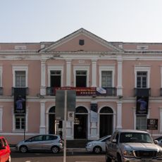
Touros, Coastal municipality in Rio Grande do Norte, Brazil.
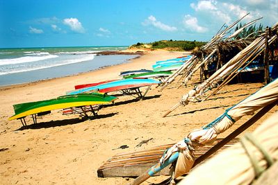
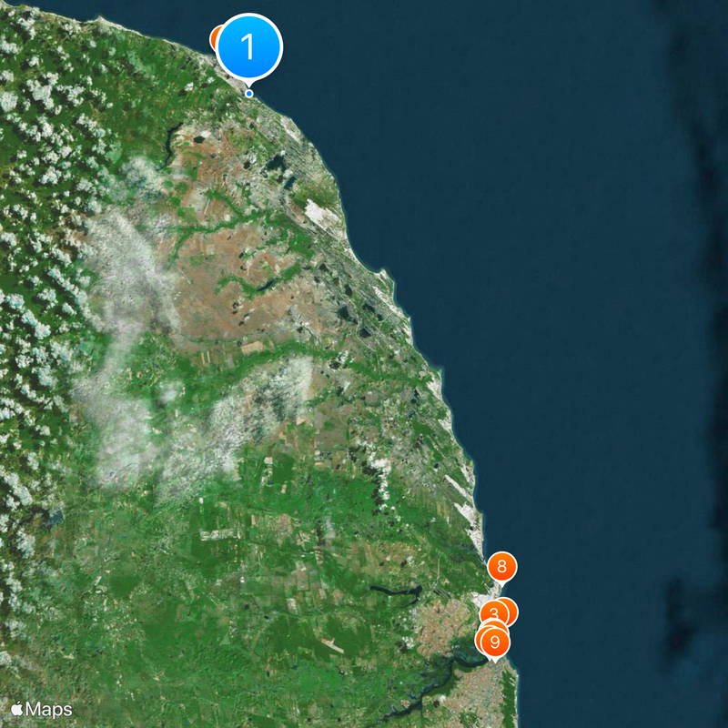
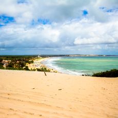
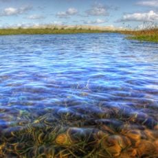
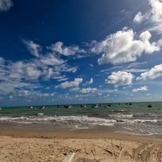
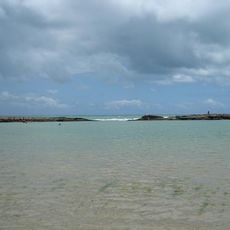
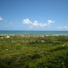
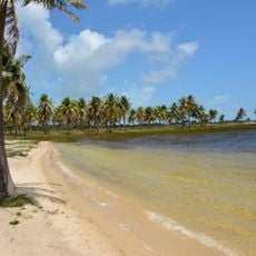
Touros is a coastal municipality at Brazil's northeastern corner along the Atlantic shore with white sand beaches and coral reefs. The area spreads across multiple smaller settlements distributed throughout the territory.
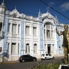
The area was officially established in 1835 after people had sought refuge there during a drought period in the 1790s. This early settlement by farmers shaped the foundations of today's communities.
The territory is shaped by small communities where fishers and farmers practice traditions that define daily life. These customs remain visible in local occupations and how residents interact with both the ocean and the land.
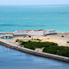
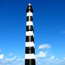
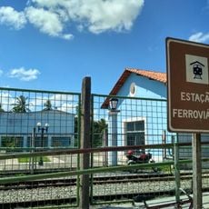
The BR-101 highway connects the municipality to other regions and offers straightforward road access for travelers. The Farol do Calcanhar lighthouse serves as an easy-to-spot reference point for navigation.
This location sits closer to Africa than any other point in South America, standing roughly 2,841 kilometers from Senegal. This geographical quirk makes it a striking endpoint of the South American continent.
Location: Rio Grande do Norte
Inception: March 27, 1835
Elevation above the sea: 72 m
Shares border with: Rio do Fogo, Pureza, Rio Grande do Norte, João Câmara, São Miguel do Gostoso, Parazinho
Website: http://touros.rn.gov.br
GPS coordinates: -5.19889,-35.46083
Latest update: December 7, 2025 10:03
Forte dos Reis Magos
68.7 km
Newton Navarro Bridge
68.5 km
Historic center of Natal
70.4 km
Alberto Maranhão Theatre
70.6 km
Our Lady of the Presentation Cathedral, Natal
71 km
Calcanhar Lighthouse
5.1 km
Genipabu
63.9 km
Catedral Metropolitana de Natal
71.5 km
Memorial Câmara Cascudo
71 km
Igreja de Nossa Senhora do Rosário dos Pretos
70.8 km
Mirante João Olímpio Filho
70.7 km
Coluna Capitolina
71 km
Parrachos de Maracajaú
29 km
Maracajaú
28.8 km
Praia do Forte
69.5 km
Felipe Camarão Palace
71 km
Museu de Cultura Popular Djalma Maranhão
70.5 km
Cemitério do Alecrim
71.4 km
Estação Ceará Mirim
48.4 km
Potengi Palace
71 km
Ponte de Igapó
69.1 km
Praia de Pitangui
53.8 km
Barra de Punaú
20.6 km
Statue of Iemanjá
70.6 km
Café Filho Museum building
71 km
Ordem dos Advogados do Brasil
70.8 km
Solar Bela Vista
70.7 km
Edifício do Instituto Histórico e Geográfico do RN
71 kmVisited this place? Tap the stars to rate it and share your experience / photos with the community! Try now! You can cancel it anytime.
Discover hidden gems everywhere you go!
From secret cafés to breathtaking viewpoints, skip the crowded tourist spots and find places that match your style. Our app makes it easy with voice search, smart filtering, route optimization, and insider tips from travelers worldwide. Download now for the complete mobile experience.
A unique approach to discovering new places❞
— Le Figaro
All the places worth exploring❞
— France Info
A tailor-made excursion in just a few clicks❞
— 20 Minutes