Drakenstein Local Municipality

Log in to your account

AroundUs is a community-driven map of interesting places, built by curious explorers like you. It grows with every review, story, and photo you share.
Connect to save your favorite spots, contribute locations, and create personalized routes.
Continue with Google
Continue with Apple
Continue with X
Continue with Facebook
Continue with email
By continuing, you accept our Terms and Conditions and our Privacy Policy
Create an account
Add to collection
Map
Suggest a change
Share

Drakenstein Local Municipality, Local municipality in Cape Winelands District, South Africa.

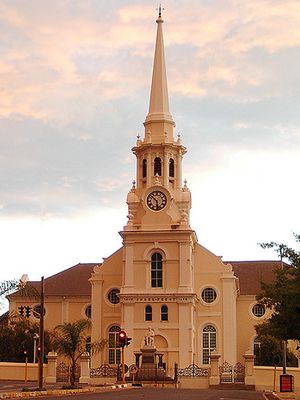
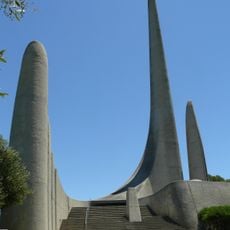
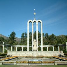
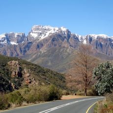
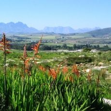
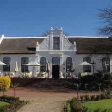
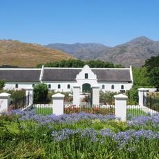
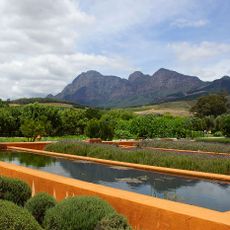
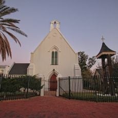
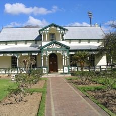
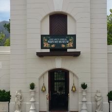
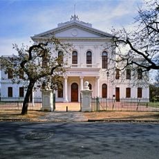
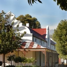
Drakenstein Local Municipality is an administrative area in the Cape Winelands region that includes towns like Paarl, Wellington, Mbekweni, Gouda, Hermon, Saron, and Simondium. The area sits at 160 meters elevation and consists mainly of vineyards and fruit farms that cover much of the landscape.

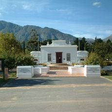
The municipality was established on December 5, 2000, as part of major administrative reforms that reorganized local government after apartheid ended in South Africa. This restructuring represented a shift toward new democratic systems of governance in the country.

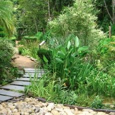
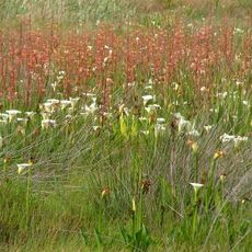
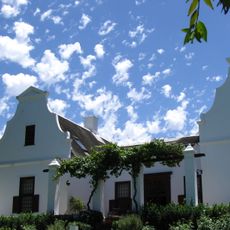
Agriculture, especially wine production, defines how people work and live in this region, shaping what you see in the landscape. These farming traditions connect families and communities to the land through generations of cultivation and trade.

The area consists of several towns connected by roads, making it easy to travel between different communities in the region. For information about local services, residents and visitors can contact the municipal offices in the main towns.

This area acts as a secondary city located just under an hour from Cape Town while maintaining its own distinct local character and identity. The combination of proximity to the capital and independence as a community creates a unique position in the wider region.

Location: Cape Winelands District Municipality

Inception: December 5, 2000

Capital city: Paarl

Elevation above the sea: 160 m

Shares border with: Witzenberg Local Municipality, Breede Valley Local Municipality, Stellenbosch Local Municipality, City of Cape Town, Swartland Local Municipality, Bergrivier Local Municipality

Website: http://drakenstein.gov.za

GPS coordinates: -33.50000,19.00000

Latest update: December 10, 2025 15:53

Photos
Reviews

Visited this place? Tap the stars to rate it and share your experience / photos with the community! Try now! You can cancel it anytime.

« Drakenstein Local Municipality - Local municipality in Cape Winelands District, South Africa » is provided by Around Us (aroundus.com). Images and texts are derived from Wikimedia project under a Creative Commons license. You are allowed to copy, distribute, and modify copies of this page, under the conditions set by the license, as long as this note is clearly visible.

Discover hidden gems everywhere you go!

From secret cafés to breathtaking viewpoints, skip the crowded tourist spots and find places that match your style. Our app makes it easy with voice search, smart filtering, route optimization, and insider tips from travelers worldwide. Download now for the complete mobile experience.

Around Us App Screenshot

A unique approach to discovering new places

Le Figaro

All the places worth exploring

France Info

A tailor-made excursion in just a few clicks

20 Minutes