
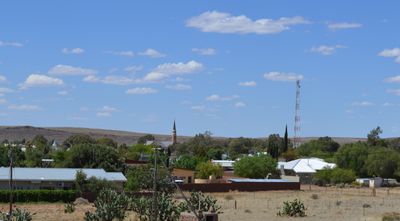
Carnarvon, town in the Northern Cape, South Africa
Location: Kareeberg Local Municipality
Inception: 1853
Elevation above the sea: 1,309 m
Shares border with: Vosburg
GPS coordinates: -30.96667,22.13333
Latest update: April 15, 2025 15:50
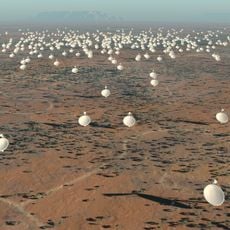
Square Kilometre Array
74.2 km
Cango Caves
270.2 km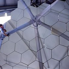
Southern African Large Telescope
200.8 km
The Owl House
250.8 km
MeerKAT
71.8 km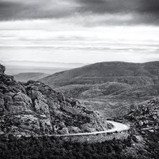
Swartberg
268 km
Tankwa Karoo National Park
267.3 km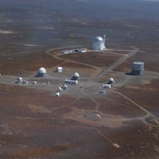
South African Astronomical Observatory
476.5 km
Laohu Valley Reserve
294.6 km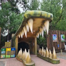
Cango Wildlife Ranch
289.4 km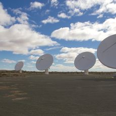
KAT-7
74.3 km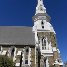
Beaufort West Reformed Church
159.8 km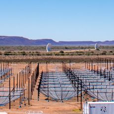
Hydrogen Epoch of Reionization Array
72.7 km
CP Nel Museum
292.3 km
Buffelspoort
295.2 km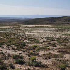
Knersvlakte
312.3 km
Gamkaberg Nature Reserve
307.2 kmRoggeveld
192.1 km
Hantam National Botanical Garden
286.2 km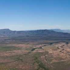
Oorlogskloof Nature Reserve
289.1 km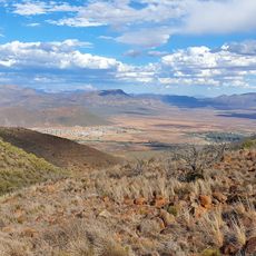
Valley of Desolation
266.5 km
Swartberg Nature Reserve
265.9 km
Koeksistermonument
254.2 km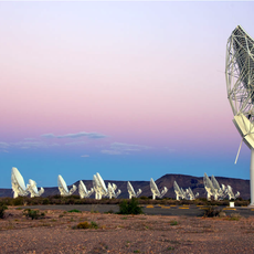
South African Radio Astronomy Observatory
71.8 km
Statue d'Andries Pretorius
267.8 km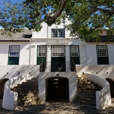
Graaff-Reinet Museum
269.2 km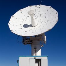
C-BASS South
14.6 km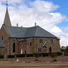
Dutch Reformed Church, Williston
123.2 kmVisited this place? Tap the stars to rate it and share your experience / photos with the community! Try now! You can cancel it anytime.
Discover hidden gems everywhere you go!
From secret cafés to breathtaking viewpoints, skip the crowded tourist spots and find places that match your style. Our app makes it easy with voice search, smart filtering, route optimization, and insider tips from travelers worldwide. Download now for the complete mobile experience.

A unique approach to discovering new places❞
— Le Figaro
All the places worth exploring❞
— France Info
A tailor-made excursion in just a few clicks❞
— 20 Minutes