
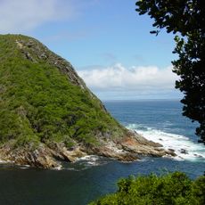
Vermaak se Krans, cliff in Eastern Cape, South Africa; geonames ID = 944196
Location: Eastern Cape
Elevation above the sea: 81 m
GPS coordinates: -34.07861,24.24722
Latest update: September 4, 2025 19:54
Tsitsikamma National Park
33 km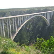
Bloukrans Bridge
56.9 km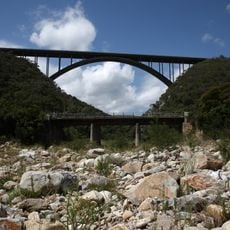
Van Stadens Bridge
89.4 km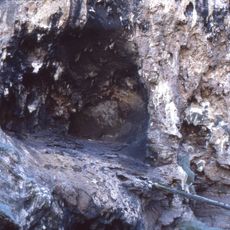
Klasies River Caves
13.6 km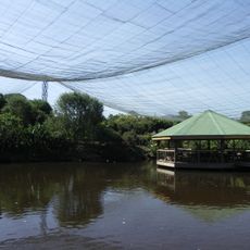
Birds of Eden
71.6 km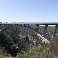
Paul Sauer Bridge
31.7 km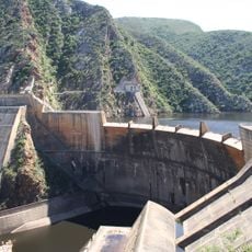
Kouga Dam
49 km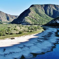
Baviaanskloof Mega Reserve
65.3 km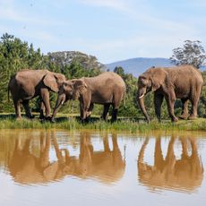
Knysna Elephant Park
90.1 km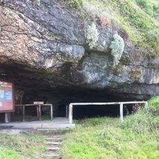
Nelson Bay Cave
80.4 km
Kragga Kamma Game Park
112.1 km
Monkeyland
71.7 km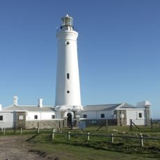
Seal Point Lighthouse
56.3 km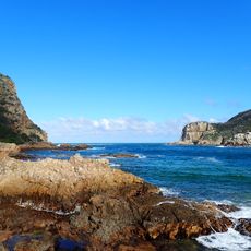
Knysna Heads
109.5 km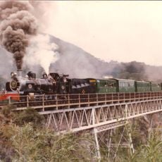
Van Stadens River NG rail bridge
91.1 km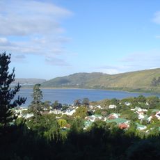
Knysna National Lake Area
111.2 km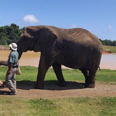
Elephant Sanctuary, The Crags, Plettenberg Bay
72 km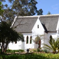
All Saints Church, Uniondale
113.6 km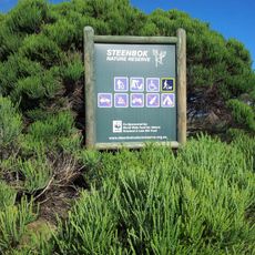
Steenbok Nature Reserve
109.4 km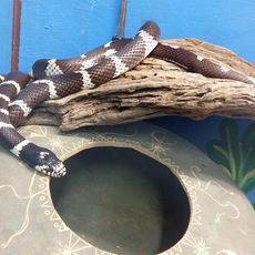
Lawnwood snake sanctuary
72.6 km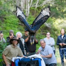
Radical Raptors
87.5 km
Van Plettenberg beacon
80.3 km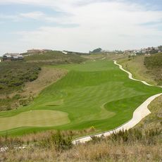
Pezula Golf Club
106.8 km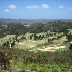
Simola Golf & Country Estate
112.5 km
African Dawn Bird and Wildlife Sanctuary
81.7 km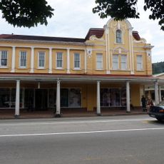
Melville's Building
110.6 km
Haaspoort Game Reserve
95.9 km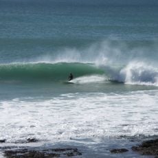
Supertubes
62.9 kmReviews
Visited this place? Tap the stars to rate it and share your experience / photos with the community! Try now! You can cancel it anytime.
Discover hidden gems everywhere you go!
From secret cafés to breathtaking viewpoints, skip the crowded tourist spots and find places that match your style. Our app makes it easy with voice search, smart filtering, route optimization, and insider tips from travelers worldwide. Download now for the complete mobile experience.

A unique approach to discovering new places❞
— Le Figaro
All the places worth exploring❞
— France Info
A tailor-made excursion in just a few clicks❞
— 20 Minutes