Chest opened
+${chestReward.xp} XP
Explorer
NOUVEAU ×${chestReward.collectible.quantity}
tapez pour fermer

See the monuments around you in AR Open chests in the app

Around Us is built for your phone — point your camera at the streets and discover the monuments and places around you in augmented reality. Around Us is built for your phone — chests unlock when you walk, explore and capture nearby places.

•

Enable Location

We need your location to show you interesting places around you

Discover nearby places

Find interesting locations and hidden gems around you

Precise directions

Get accurate directions and distances to places

Your location is never shared with other users. It's only used when you tap the location button.

Sani Pass

Log in to your account

Start exploring — it's free

Trusted by 94,046 travelers worldwide

Continue with Google
Continue with Apple
or

We will send you a code to connect

By continuing, you accept our Terms and Conditions and our Privacy Policy

Check your inbox

We've sent a pincode in your inbox. Please enter the code below.

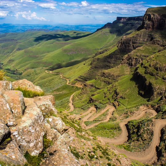
Sani Pass, Mountain pass between KwaZulu-Natal and Lesotho, South Africa

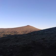
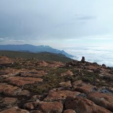
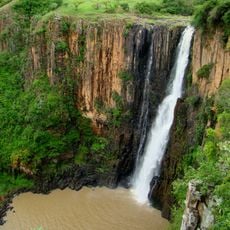
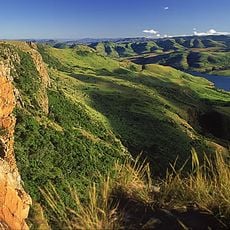
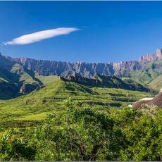
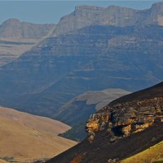
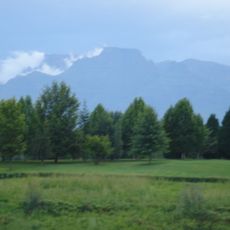
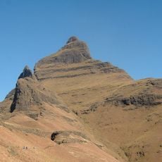
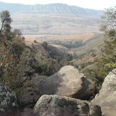
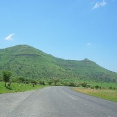
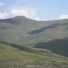
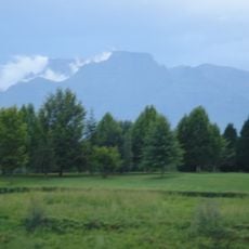
Sani Pass is a mountain pass that connects KwaZulu-Natal to Lesotho via a gravel road winding through high alpine terrain. The route climbs steeply through steep Drakensberg valleys and reaches elevations typical of the southern African highlands.

The route was used by San people and later Bantu communities before 1913, when it was laid out as a pack-donkey trail for trade between South Africa and Mokhotlong. On 26 October 1948 Godfrey Edmonds drove a military jeep to the summit in five and a half hours, helped by Basotho with mules, ropes and pulleys. In 1952 Alwyn Bisschoff took a Land Rover up, and in 1955 David Alexander's Mokhotlong Mountain Transport Company rebuilt the trail as a road for Land Rovers.

The pass lies on a route the San people used first, followed by Bantu groups crossing the Drakensberg range. From 1913 it was laid out as a pack-donkey trail for trade with Mokhotlong; herders drove lame animals over the edge and bearded vultures circling above marked the path from afar. Since 1994 it has served mainly walkers, cyclists and 4x4 tourists, plus workers travelling between Lesotho and South Africa.

South Africa allows only 4x4 vehicles on the gravel section between its border post at the foot of the climb and the summit; the Lesotho post at the top lets all vehicles attempt the descent. Both border posts open at 6:00 and close at 18:00, and the pass is often shut in winter weather. The border itself is at the summit, so the whole pass lies in South Africa.

The first vehicle to reach the summit was a war-surplus Willys Jeep, driven on 26 October 1948 by Godfrey Edmonds, a former RAF bomber pilot, who took five and a half hours with Basotho helpers using mules, ropes and pulleys. In 1952 Alwyn Bisschoff repeated the climb in a Land Rover.

The community of curious travelers

AroundUs brings together thousands of curated places, local tips, and hidden gems, enriched daily by 94,046 contributors worldwide.

Start exploring
Location
Elevation above the sea
2,677 m
GPS coordinates
-29.58810,29.29270
Latest update
October 26, 2026 10:32
Reviews
Share your experience

No review yet

Discussions
Start a discussion...

No discussion yet

« Sani Pass - Mountain pass between KwaZulu-Natal and Lesotho, South Africa » is provided by Around Us (aroundus.com). Images and texts are derived from Wikimedia project under a Creative Commons license. You are allowed to copy, distribute, and modify copies of this page, under the conditions set by the license, as long as this note is clearly visible.

Discover hidden gems everywhere you go!

From secret cafés to breathtaking viewpoints, skip the crowded tourist spots and find places that match your style. Our app makes it easy with voice search, smart filtering, route optimization, and insider tips from travelers worldwide. Download now for the complete mobile experience.
Around Us App Screenshot
❝

A unique approach to discovering new places❞

— Le Figaro

❝

All the places worth exploring❞

— France Info

❝

A tailor-made excursion in just a few clicks❞

— 20 Minutes

Around Us
Travel Guide & Maps
Download

Send to your phone

QR Code
1

Open the camera app on your mobile.

2

Point at the QR code with your camera. A notification will appear.

3

Tap the notification to open the link.