
Nketoana Local Municipality, local municipality
Location: Thabo Mofutsanyana District Municipality
Inception: December 5, 2000
Capital city: Reitz
Elevation above the sea: 1,652 m
GPS coordinates: -27.80170,28.44500
Latest update: March 14, 2025 08:41

Vredefort crater
129.2 km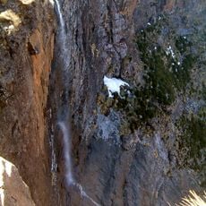
Tugela Falls
114.6 km
Royal Natal National Park
110 km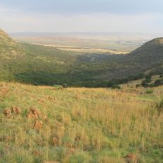
Suikerbosrand Nature Reserve
146.2 km
Mont-Aux-Sources
115.9 km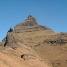
Cathedral Peak
142.1 km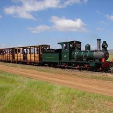
Sandstone Estates
124 km
Spion Kop
141.4 km
Sterkfontein Dam Nature Reserve
88.2 km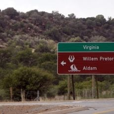
Willem Pretorius Game Reserve
131.4 km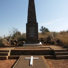
Spion Kop Battlefield Memorials
141.2 km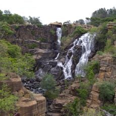
Ncandu Falls
137.8 km
Spioenkop Dam Nature Reserve
142.5 km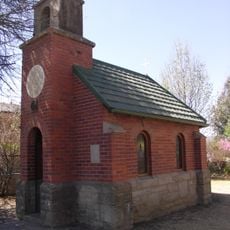
Llandaff Oratory
111.8 km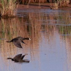
Marievale Bird Sanctuary
160.6 km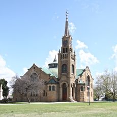
Dutch Reformed Church, Kroonstad
120.2 km
Retief Rock
101.9 km
Witkop Blockhouse
153.3 km
Kidson Weir
144.4 km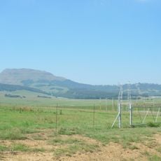
Majubaberg
144.7 km
Sarel Cilliers memorial
120.2 km
Moolmanshoek Private Game Reserve
102.1 km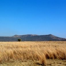
Riserva naturale di Spioenkop
140.2 km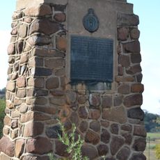
Sand River Convention Monument
141.6 km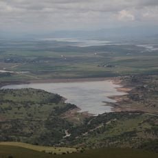
Woodstock Dam Reservoir
128.2 km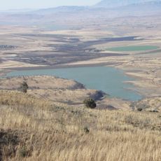
Kilburn Reservoir
108.5 km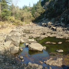
Pretorius Kloof
49.9 km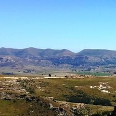
Clarens Village Nature Reserve
79.7 kmReviews
Visited this place? Tap the stars to rate it and share your experience / photos with the community! Try now! You can cancel it anytime.
Discover hidden gems everywhere you go!
From secret cafés to breathtaking viewpoints, skip the crowded tourist spots and find places that match your style. Our app makes it easy with voice search, smart filtering, route optimization, and insider tips from travelers worldwide. Download now for the complete mobile experience.

A unique approach to discovering new places❞
— Le Figaro
All the places worth exploring❞
— France Info
A tailor-made excursion in just a few clicks❞
— 20 Minutes