Magoebaskloof, Mountain pass and road system in Limpopo, South Africa.
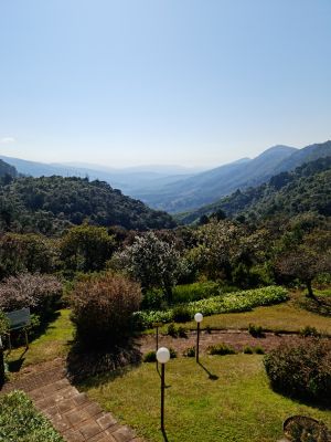
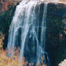
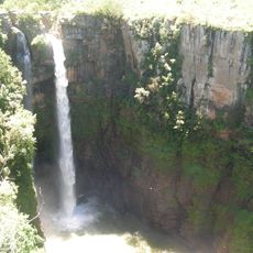
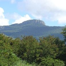
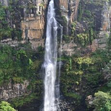
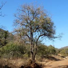
Magoebaskloof is a mountain pass along the R71 road in Limpopo that winds through steep sections requiring careful driving. The route carries traffic through forested terrain with significant elevation changes across its full length.
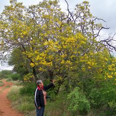
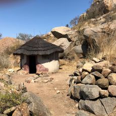
The area was home to the Tlou people under Chief Makgoba before Afrikaans-speaking settlers arrived in the Tzaneen region. European settlement later prompted the development of the mountain pass road that serves the region today.
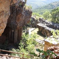
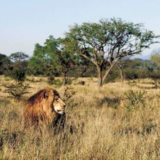
The pass incorporates thirteen platforms connected by steel cables, enabling visitors to observe native wildlife and vegetation from elevated positions.
During rain and fog, drivers should reduce speed and use headlights to navigate safely through the winding sections. Road conditions can change quickly, so checking local weather before traveling is a good idea.
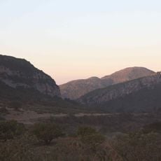
The pass serves as a popular mountain biking destination where riders descend through tea plantations and forests with significant elevation change. The combination of steep terrain and natural surroundings makes it an adventure beyond just driving through.
Location: Limpopo
Elevation above the sea: 909 m
Address: Magoebaskloof, South Africa
GPS coordinates: -23.85000,30.03330
Latest update: December 6, 2025 17:40
South Africa offers very different landscapes, from the windy Cape to the blue mountains of the Drakensberg. You can spend a morning on the Table Mountain, an evening watching whales in Hermanus, and in between, explore red trails, deep canyons, lagoons, and vineyards. The nature parks host large...
Blyde River Canyon
111.8 km
Blyde River Canyon Nature Reserve
102.7 km
Peter Mokaba Stadium
58.1 km
Vallée de Makapan
93.1 km
Timbavati Game Reserve
144 km
Balule Nature Reserve
102.2 km
Berlin Falls
137.7 km
Lisbon Falls
138.8 km
Bourke's Luck Potholes
121 km
Kapama Game Reserve
121.9 km
Mac-Mac Falls
150.7 km
Hanglip
96.3 km
Blouberg Nature Reserve
133 km
Ingwelala
141.6 km
Wolkberg Wilderness Area
23.3 km
Mopani Camp
144 km
Nwanedi Provincial Park
140.7 km
Ben Lavin Nature Reserve
79 km
Potlake Nature Reserve
45.2 km
Masorini
125.8 km
Kleinfontein
107.9 km
Motitsi Falls
146.7 km
Masebe Nature Reserve
149.4 km
Masorini Archaeological Site
125.9 km
Voortrekkerbad
107.9 km
The Pinnacle Rock
144.5 km
Morning Sun Nature Reserve
101.8 km
Blyderivierpoort Reservoir
110.1 kmVisited this place? Tap the stars to rate it and share your experience / photos with the community! Try now! You can cancel it anytime.
Discover hidden gems everywhere you go!
From secret cafés to breathtaking viewpoints, skip the crowded tourist spots and find places that match your style. Our app makes it easy with voice search, smart filtering, route optimization, and insider tips from travelers worldwide. Download now for the complete mobile experience.
A unique approach to discovering new places❞
— Le Figaro
All the places worth exploring❞
— France Info
A tailor-made excursion in just a few clicks❞
— 20 Minutes