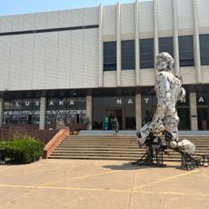
Geography of Zambia, étude du territoire zambien
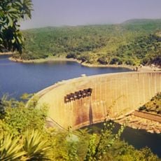
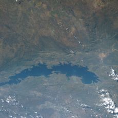
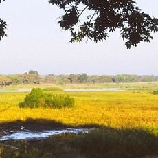
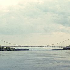
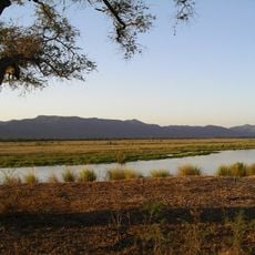
Zambia is a large highland in southern Africa, consisting mostly of a flat plateau sitting between 1,000 and 1,400 meters in elevation. The country is cut through by several river valleys, including the Zambezi valley in the south, and contains numerous lakes such as the man-made Lake Kariba, which stretches about 280 kilometers.
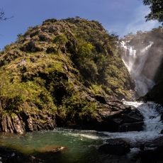
The country was named after the Zambezi River, which rises in the northwest and forms the southern border. Over thousands of years, the rivers have shaped the landscape, carving numerous valleys and gorges that define the country today.
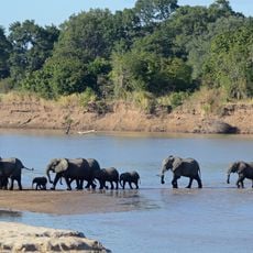
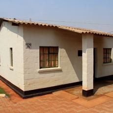
The name Zambia comes from the Zambezi River, which rises in the northwest and flows through the country. People use the rivers, lakes, and plateau for daily activities like fishing, farming, and local markets, weaving the landscape into their way of life.
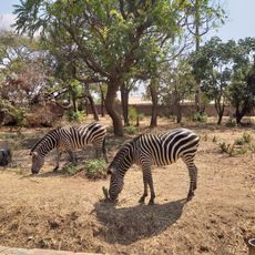
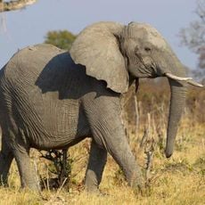
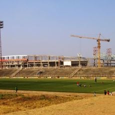
The country is landlocked and bordered by eight nations, so travelers should expect border crossings and longer travel times. Roads connect the various regions, though exploring remote lakes and national parks works best with four-wheel-drive vehicles during rainy seasons when roads become challenging.
The Copperbelt region in the northwest is a 90-kilometer zone holding some of the world's largest copper deposits. These mineral resources shape the country's economy and make it a major supplier of raw materials to global industry.
The community of curious travelers
AroundUs brings together thousands of curated places, local tips, and hidden gems, enriched daily by 60,000 contributors worldwide.