Enable Location

We need your location to show you interesting places around you

Discover nearby places

Find interesting locations and hidden gems around you

Precise directions

Get accurate directions and distances to places

Your location is never shared with other users. It's only used when you tap the location button.

Shiwang'andu District

Log in to your account

Start exploring — it's free

Trusted by 63,478 travelers worldwide

Continue with Google
Continue with Apple
or

We will send you a code to connect

By continuing, you accept our Terms and Conditions and our Privacy Policy

Check your inbox

We've sent a pincode in your inbox. Please enter the code below.

Shiwang'andu District
Discussion Reviews 1 Photos 1 Collections
2k Popularity

Shiwang'andu District, Administrative district in Muchinga Province, Zambia

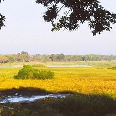
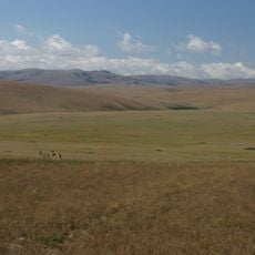
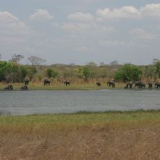
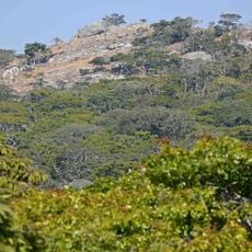
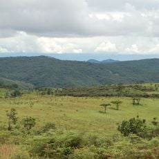
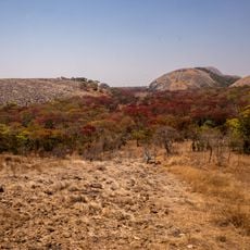
Shiwang'andu District is an administrative division in Muchinga Province covering about 9,350 square kilometers of land in northeastern Zambia. The terrain rises between 3,280 feet (1,000 meters) and 6,560 feet (2,000 meters) in elevation and is organized into 17 wards and 88 zones.

This district was established in 2013 when Chinsali District was divided following the creation of Muchinga Province in 2011. The administrative reorganization reflected changes in regional governance within the country.

Bemba is the main language spoken here, and farming shapes how people live and work together. Residents maintain traditional ways of managing the land and forests, which connects them to their surroundings and each other.

Most of the land here is traditional territory managed by local leaders, while a smaller portion is reserved for government use. Travelers should understand these land divisions, as they shape access to roads, services, and the overall layout of the district.

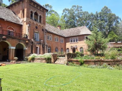
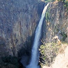
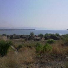
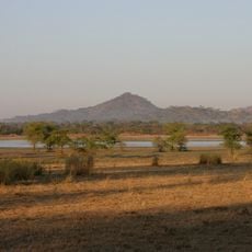
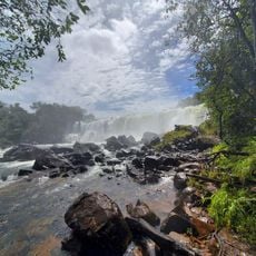
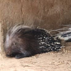
Lake Shiwang'andu, whose name means 'lake of crocodiles,' contains natural hot springs that attract visitors to the area. These thermal waters create an unusual feature in the landscape that sets this district apart.

The community of curious travelers

AroundUs brings together thousands of curated places, local tips, and hidden gems, enriched daily by 60,000 contributors worldwide.

Start exploring
Elevation above the sea
1,459 m
Address
Shiwa Ngamu, Zambia
GPS coordinates
-10.98893,31.69332
Latest update
December 6, 2025 17:45
Main natural and cultural attractions in Zambia

Zambia showcases a remarkable collection of natural wonders and cultural destinations. Victoria Falls stands as the most famous attraction, drawing visitors from around the world. The Livingstone region blends natural features like Batoka Gorge, Livingstone Island, and Devil's Pool with museums and...

Reviews
Share your experience

No review yet

Discussions
Start a discussion...

No discussion yet

« Shiwang'andu District - Administrative district in Muchinga Province, Zambia » is provided by Around Us (aroundus.com). Images and texts are derived from Wikimedia project under a Creative Commons license. You are allowed to copy, distribute, and modify copies of this page, under the conditions set by the license, as long as this note is clearly visible.

Discover hidden gems everywhere you go!

From secret cafés to breathtaking viewpoints, skip the crowded tourist spots and find places that match your style. Our app makes it easy with voice search, smart filtering, route optimization, and insider tips from travelers worldwide. Download now for the complete mobile experience.

Around Us App Screenshot

A unique approach to discovering new places

Le Figaro

All the places worth exploring

France Info

A tailor-made excursion in just a few clicks

20 Minutes

Around Us
Travel Guide & Maps
Download

Send to your phone

QR Code
1

Open the camera app on your mobile.

2

Point at the QR code with your camera. A notification will appear.

3

Tap the notification to open the link.