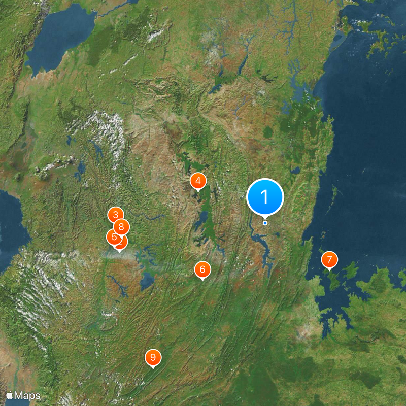
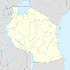
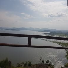
Kagera Region, Administrative region with Lake Victoria shoreline in Tanzania
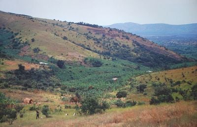
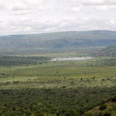
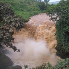
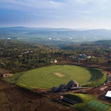
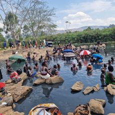
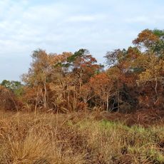
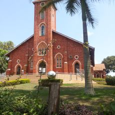
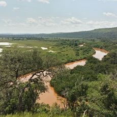
Kagera Region is an administrative area along Lake Victoria's western shore in Tanzania. The landscape consists of hills, rivers, and agricultural lands where bananas dominate and coffee farming is significant.
The area originally contained nine distinct kingdoms and received its current name following an armed conflict in the late 1970s. This reorganization marked the end of a colonial administrative period.
The Bahaya people shape daily life here through their music, crafts, and farming traditions. Bananas and coffee growing dominate the landscape and remain central to how communities live and work.
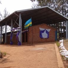
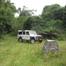
The main city Bukoba provides transport connections to other parts of the country. Visitors should prepare for longer travel times and adapt to local transportation options.
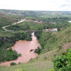
The region sits on the Kivu Rift, a geological fault line that produces regular earthquakes. This geological feature shapes the physical structure of the land.
The community of curious travelers
AroundUs brings together thousands of curated places, local tips, and hidden gems, enriched daily by 60,000 contributors worldwide.