Lake Malawi

Log in to your account

AroundUs is a community-driven map of interesting places, built by curious explorers like you. It grows with every review, story, and photo you share.
Connect to save your favorite spots, contribute locations, and create personalized routes.
By continuing, you accept our Terms and Conditions and our Privacy Policy
Add to collection
Map
Suggest a change
Share

Lake Malawi, Freshwater lake in southeastern Africa

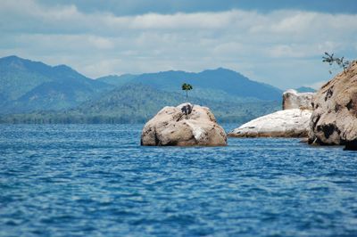
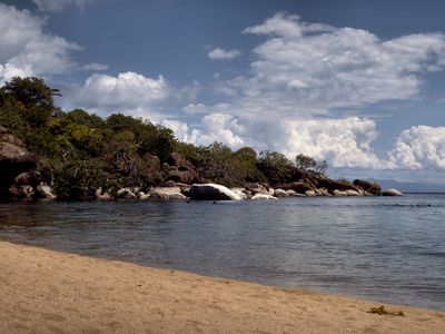
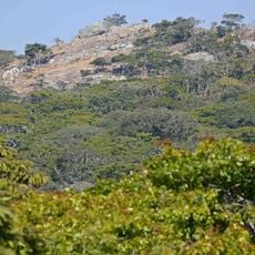
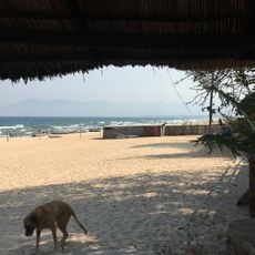
Lake Malawi runs for 563 kilometers along the borders of Malawi, Mozambique and Tanzania, reaching depths around 700 meters (2300 feet) in its deepest sections. The water is remarkably clear, allowing visibility of sandy bottoms and rock formations in shallow areas.

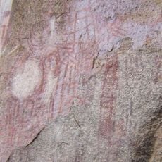
Portuguese trader Cândido José da Costa Cardoso first documented the lake in 1846, before David Livingstone explored it further in 1859. The lake served as a major trade route between East African coastal regions and the interior for a long time.

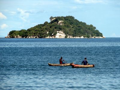
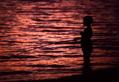
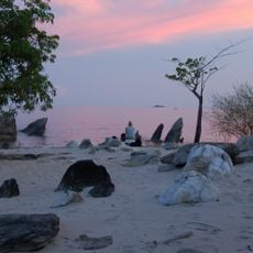
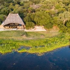
Fishing villages along the shore use handmade canoes and nets for the daily catch, while women on the beach dry and smoke fish over open fires. The name Malawi comes from the Maravi language and means flaming waters, a reference to the golden reflection of sunset across the surface.

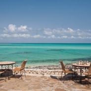
The lake offers year-round opportunities for snorkeling and diving, with several access points and equipment rentals available near the shore. Conditions are usually calmest in the morning when winds remain light and underwater visibility stays at its best.

The lake holds more fish species than any other body of water worldwide, with over 800 cichlid species that evolved within its boundaries. Many of these species live exclusively in specific rock crevices or sand zones and exist nowhere else on Earth.

Location: Niassa

Elevation above the sea: 474 m

Part of: Lake Malawi National Park, African Great Lakes, Rift Valley lakes

Shares border with: Chintheche

GPS coordinates: -12.18333,34.36667

Latest update: December 15, 2025 04:04

Photos
Photo spots in Mozambique

Mozambique stretches along the Indian Ocean coast for 1,500 miles (2,400 kilometers) and presents photographers with diverse subjects. The coastal region includes archipelagos such as Bazaruto and Quirimbas with white sand beaches and coral reefs. Along the shore sit historic structures like Macuti...

Reviews

Visited this place? Tap the stars to rate it and share your experience / photos with the community! Try now! You can cancel it anytime.

« Lake Malawi - Freshwater lake in southeastern Africa » is provided by Around Us (aroundus.com). Images and texts are derived from Wikimedia project under a Creative Commons license. You are allowed to copy, distribute, and modify copies of this page, under the conditions set by the license, as long as this note is clearly visible.

Discover hidden gems everywhere you go!

From secret cafés to breathtaking viewpoints, skip the crowded tourist spots and find places that match your style. Our app makes it easy with voice search, smart filtering, route optimization, and insider tips from travelers worldwide. Download now for the complete mobile experience.

Around Us App Screenshot

A unique approach to discovering new places

Le Figaro

All the places worth exploring

France Info

A tailor-made excursion in just a few clicks

20 Minutes