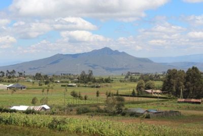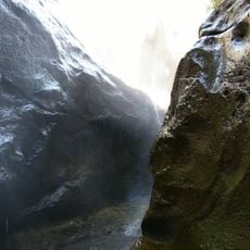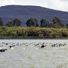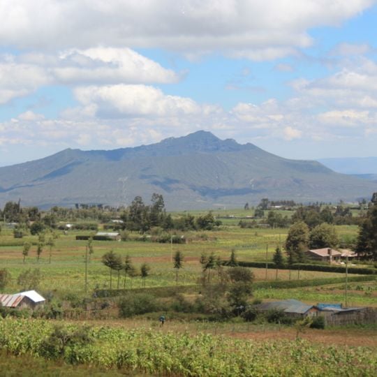
Mount Longonot, Stratovolcano in Great Rift Valley, Kenya.
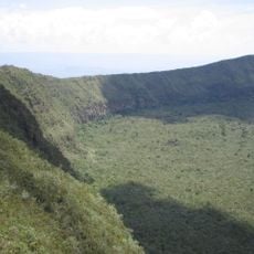
Mount Longonot is a stratovolcano in the Great Rift Valley that rises approximately 2,776 meters above sea level. The volcano features a large caldera with a forested crater floor surrounded by high inner walls.
Longonot is a stratovolcano whose large 8 by 12 km caldera formed about 21,000 years ago through eruptions of trachytic lava. The present summit cone grew inside that caldera and is capped by a 1.8 km crater. Its last known eruption was in the 1860s, and geodetic measurements in 2004–2006 showed active magmatic systems beneath it.
The name comes from the Maasai word Oloonong'ot, meaning "mountains of many spurs" or "steep ridges", after the jagged rim that hikers follow around the crater. The crater floor holds a forest of small trees, and small steam vents stand spaced around the crater walls.
The trail from the park gate to the crater rim is 3.1 km, and the rim loop adds 7.2 km; the full 13.5 km circuit takes 4–5 hours with rest breaks. Parts of the path are heavily eroded and very steep. The gate sits at about 2,150 m and the peak at 2,776 m, but following the jagged rim involves more than the 630 m vertical difference.
Geodetic measurements in 2004–2006 detected active magmatic systems beneath Longonot, and the crater walls still release small steam plumes. The summit cone sits inside an older 8 by 12 km caldera, so the visible peak is only part of the volcano's structure.
The community of curious travelers
AroundUs brings together thousands of curated places, local tips, and hidden gems, enriched daily by 94,019 contributors worldwide.