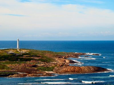
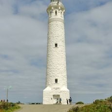
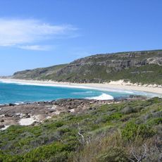
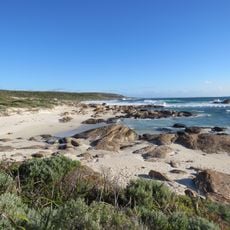
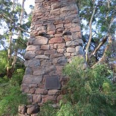
Cape Leeuwin, Coastal headland at most south-westerly point, Western Australia
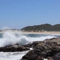
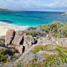
Cape Leeuwin is a limestone headland that rises 140 meters above sea level where the Southern and Indian Ocean waters meet with powerful currents. A lighthouse marks the location at Western Australia's most south-western point and provides visitors with direct access to this windy site.
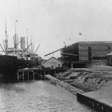
A Dutch ship called the Leeuwin first documented this spot in 1622, and explorer Matthew Flinders later named the cape after that vessel. These early sea encounters shaped the European map of this remote south-western coast.
The local Wardandi Aboriginal people called this place Doogalup for thousands of years and held deep ties to the coastal land.
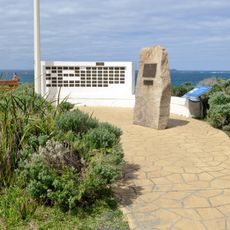
The lighthouse offers guided visits with access to an observation platform where you can watch the meeting of two oceans and the surrounding landscape. Be ready for strong winds and changeable weather, especially if you plan to explore the outdoor areas.
Weather stations here record the exact conditions where two ocean currents meet and create unusual wind patterns. These readings make the spot valuable for ocean researchers and climate studies.
The community of curious travelers
AroundUs brings together thousands of curated places, local tips, and hidden gems, enriched daily by 60,000 contributors worldwide.