
Arid Recovery, Protected area
Location: South Australia
Inception: 1997
Founders: Katherine E. Moseby, John Read
Website: https://aridrecovery.org.au/
Website: https://aridrecovery.org.au
GPS coordinates: -30.37758,136.92525
Latest update: March 24, 2025 17:25
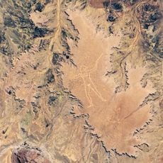
Marree Man
107.8 km
Anna Creek station
206.3 km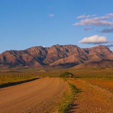
Wilpena Pound
199.6 km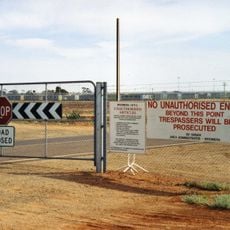
Woomera Immigration Reception and Processing Centre
90.6 km
Marree Mosque
136.3 km
Mount Remarkable National Park
288.5 km
Cazneaux Tree
207.1 km
Kati Thanda-Lake Eyre National Park
204.1 km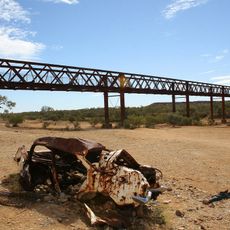
Algebuckina Bridge
296.5 km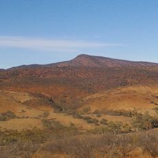
Vulkathunha-Gammon Ranges National Park
225.9 km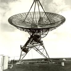
Island Lagoon Tracking Station
111.8 km
Mount Remarkable
294.8 km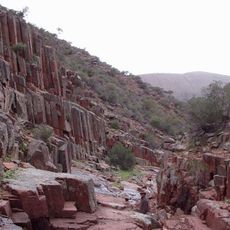
Gawler Ranges National Park
280 km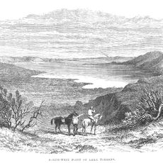
Lake Torrens National Park
116.9 km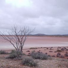
Lake Gairdner National Park
170.5 km
Parachilna Gorge
174 km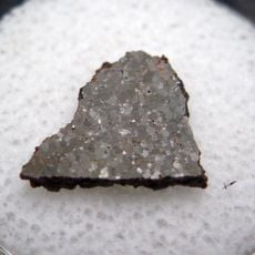
Brachina meteorite
173.1 km
Australian Arid Lands Botanic Garden
244.6 km
Emergency Fire Service
276.4 km
Dutchmans Stern
236.7 km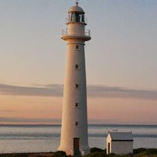
Point Lowly Lighthouse
303.1 km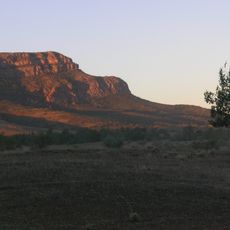
Ikara-Flinders Ranges National Park
207 km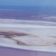
Lake Frome National Park
279.4 km
Wilpena Pound Resort Reception
205.2 km
Willochra Plain
263.7 km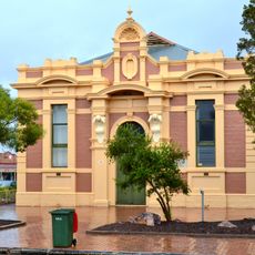
Quorn Town Hall
243.4 km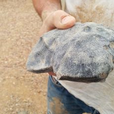
Murrili meteorite
137.7 km
Woomera Observatory
82.1 kmReviews
Visited this place? Tap the stars to rate it and share your experience / photos with the community! Try now! You can cancel it anytime.
Discover hidden gems everywhere you go!
From secret cafés to breathtaking viewpoints, skip the crowded tourist spots and find places that match your style. Our app makes it easy with voice search, smart filtering, route optimization, and insider tips from travelers worldwide. Download now for the complete mobile experience.

A unique approach to discovering new places❞
— Le Figaro
All the places worth exploring❞
— France Info
A tailor-made excursion in just a few clicks❞
— 20 Minutes