
Rembang, district in Rembang Regency, Central Java Province, Indonesia
Location: Rembang
Elevation above the sea: 17 m
GPS coordinates: -6.72389,111.37333
Latest update: June 4, 2025 01:42

Lawu Mountain
102.5 km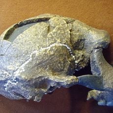
Sangiran
99.4 km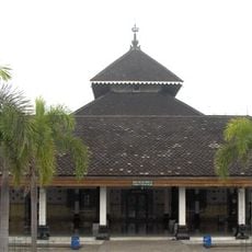
Demak Great Mosque
83.5 km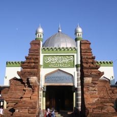
Menara Kudus Mosque
60.5 km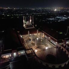
Great Mosque of Central Java
106.5 km
Cetho
99.9 km
Sukuh
104.1 km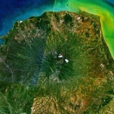
Gunung Muria
54.7 km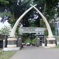
Musiyum Manungsa Purwa Sangiran
100.7 km
Astana Giribangun
108.6 km
Grojogan Sewu waterfall
107.7 km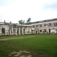
Fort van den Bosch
74.7 km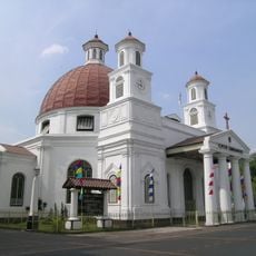
Blenduk Church
108 km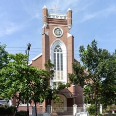
St. Joseph's Church, Semarang
107.6 km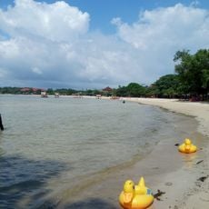
Obyek Wisata Pantai Bandengan
82.1 km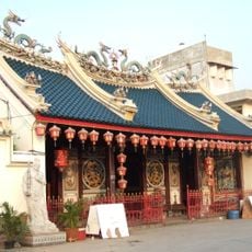
Tay Kak Sie Temple
108.1 km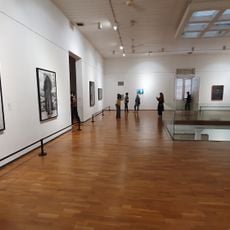
Semarang Contemporary Art Gallery
107.9 km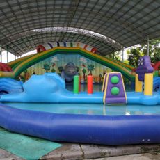
Go Fun Waterpark Bojonegoro
76.3 km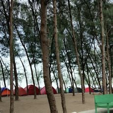
Pantai Mangrove Center Tuban
72.1 km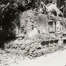
Langgar Bubrah
60.4 km
Jumog waterfall
104.6 km
Kepet railway station
84.6 km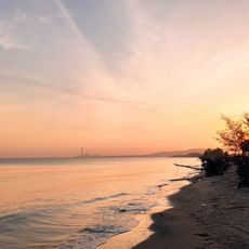
Pantai Caruban
7.9 km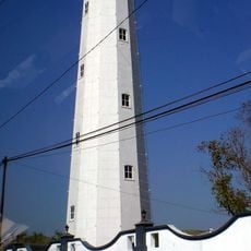
Semarang Lighthouse
108.6 km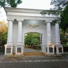
Fort Japara
79.7 km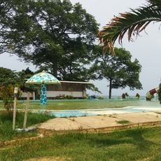
Sentono Water Park
46 km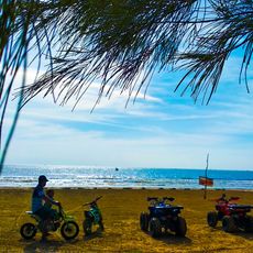
Pantai Aladdin
73.2 km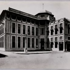
Building of the Nillmij (Semarang)
108.1 kmReviews
Visited this place? Tap the stars to rate it and share your experience / photos with the community! Try now! You can cancel it anytime.

Discover hidden gems everywhere you go!
From secret cafés to breathtaking viewpoints, skip the crowded tourist spots and find places that match your style. Our app makes it easy with voice search, smart filtering, route optimization, and insider tips from travelers worldwide. Download now for the complete mobile experience.

A unique approach to discovering new places❞
— Le Figaro
All the places worth exploring❞
— France Info
A tailor-made excursion in just a few clicks❞
— 20 Minutes