
Ngempit, village in Pasuruan Regency, East Java, Indonesia
Location: Kraton
Elevation above the sea: 25 m
GPS coordinates: -7.66528,112.84472
Latest update: May 14, 2025 20:53

Mount Bromo
33 km
Arjuno-Welirang
30.7 km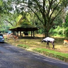
Taman Safari Indonesia
21.9 km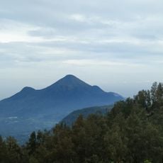
Mount Penanggungan
25.4 km
Madakaripura Waterfall
27.6 km
Candi Jago
38.9 km
Al-Akbar Mosque
39.3 km
Jawa Timur Park 3
41.2 km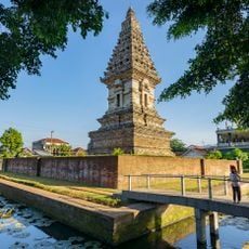
Jawi temple
19.3 km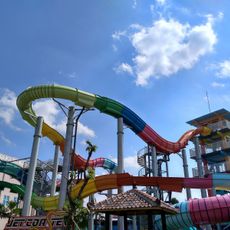
Hawaii Waterpark
35.4 km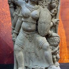
Mpu Tantular Museum
29.2 km
Pari Temple
24.4 km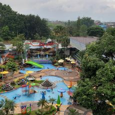
Taman Rekreasi Sengkaling UMM
39.6 km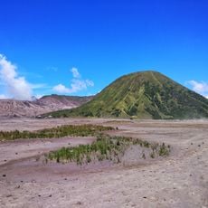
Mount Batok
32.1 km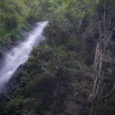
Dlundung Waterfall
27.7 km
Gelora Delta Stadium
28.7 km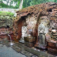
Candi Belahan
22.3 km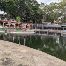
Taman Wisata Wendit
37.3 km
Graha Bethany Nginden
40.7 km
BeSS
22.2 km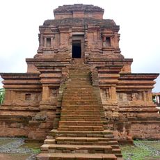
Gunung Gangsir
15.1 km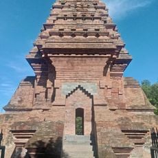
Dermo Temple
37.9 km
Wendit
37.3 km
Luhur Poten Temple Of Mount Bromo
32.2 km
Bangkal temple
26.8 km
Pusat Pelatihan Lingkungan hidup
29.4 km
Obech Rafting
34.4 km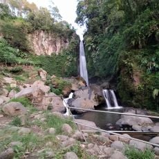
Coban Talun Waterfall
39.4 kmReviews
Visited this place? Tap the stars to rate it and share your experience / photos with the community! Try now! You can cancel it anytime.
Discover hidden gems everywhere you go!
From secret cafés to breathtaking viewpoints, skip the crowded tourist spots and find places that match your style. Our app makes it easy with voice search, smart filtering, route optimization, and insider tips from travelers worldwide. Download now for the complete mobile experience.

A unique approach to discovering new places❞
— Le Figaro
All the places worth exploring❞
— France Info
A tailor-made excursion in just a few clicks❞
— 20 Minutes