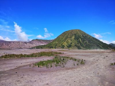
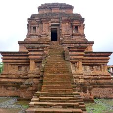
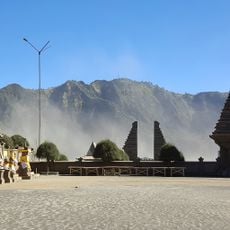
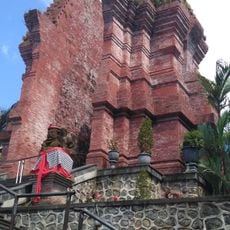
Mount Batok, Volcanic mountain in Bromo Tengger Semeru National Park, Indonesia
Mount Batok is an inactive volcanic cone rising to about 2,440 meters in the Bromo Tengger Semeru National Park, shaped like a perfect coconut shell by layers of ash and rock. The summit sits in a highland area where four different regencies meet, offering views across the crater landscape below.
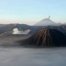
The mountain formed through powerful volcanic activity in the Tengger caldera region over geological time, creating its distinctive cone shape. The local Tenggerese people have lived near this landscape for generations, incorporating the mountain into their traditions and way of life.
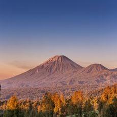
The mountain holds sacred meaning for the Tenggerese people, rooted in their local legends about ancient love and sacrifice. You will see prayer flags and offerings left by visitors today, showing how the place remains spiritually important in their daily lives and seasonal celebrations.
The hike from Cemoro Lawang takes roughly two hours, and starting early in the morning gives you clear views and quieter paths. Bring water and wear layers since the altitude can be cool, and the marked trail is straightforward to follow even though the ground can be uneven underfoot.
This inactive cone keeps its perfect coconut shell shape because it stopped erupting long ago, unlike other active volcanoes nearby that change over time. Its location sits exactly where four different regencies meet, making it a geographical meeting point that many visitors overlook.
The community of curious travelers
AroundUs brings together thousands of curated places, local tips, and hidden gems, enriched daily by 60,000 contributors worldwide.