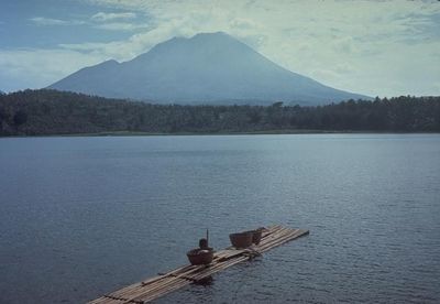
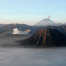
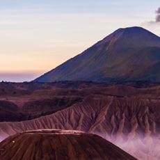
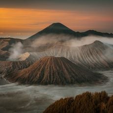
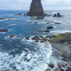
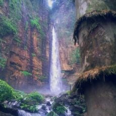
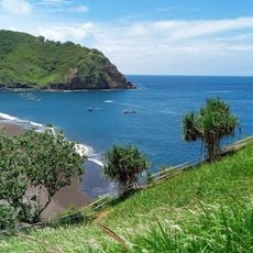
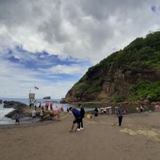
Mount Lamongan, Stratovolcano in Probolinggo, Indonesia.
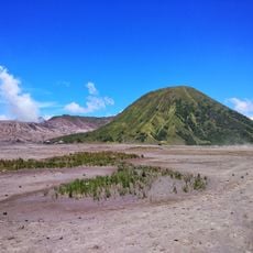
Mount Lamongan is a stratovolcano in Probolinggo that rises to approximately 1,650 meters (5,410 feet). It sits between the Tengger caldera complex and the Iyang-Argapura volcano complex, with numerous lake-filled maars dotting its slopes.
Mount Lamongan's first recorded eruption occurred in 1799, and the volcano stayed highly active until the late 20th century. Its activity built the surrounding Lemongan Volcanic Field, which holds 60 cinder cones and 27 maars. The highest point, Gunung Tarub, lies 650 metres northeast of the active summit.
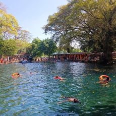
The mountain's name is remembered in the Lamongan volcanic field, the term used in geological literature for the cluster of maars and cinder cones around the peak. The Green Army organization, led by Aak Abdullah al-Kudus, has worked to reforest the slopes. Lake-filled maars such as Ranu Pakis, Ranu Klakah and Ranu Bedali lie on the eastern and western flanks, while the northern flanks are dominated by dry maars.
The trek begins from Klakah town and passes by Ranu Klakah lake before reaching Papringan village. Local guides are available there to help you navigate the complex trail system.
The area contains over 90 eruptive vents scattered across its surface, including numerous maars and cinder cones. This high concentration of volcanic features makes it a remarkable laboratory for understanding volcanic activity.
The community of curious travelers
AroundUs brings together thousands of curated places, local tips, and hidden gems, enriched daily by 93,177 contributors worldwide.